
Tag: World
-
A lidar map of the world: the ground beneath the trees
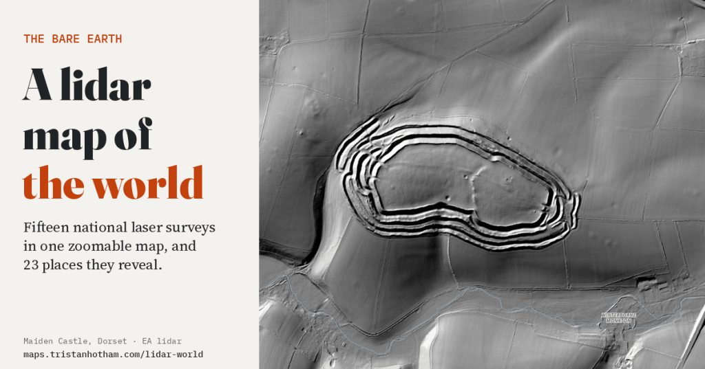
Fifteen national laser surveys in one zoomable map. Hillforts hidden in forests, the craters of Verdun, the mine craters of Messines, Roman gold mines and the biggest burial mound in Japan: what the land looks like with every tree and building taken away.
-
How high is the world? Mountains, plateaus and height above sea level on one map
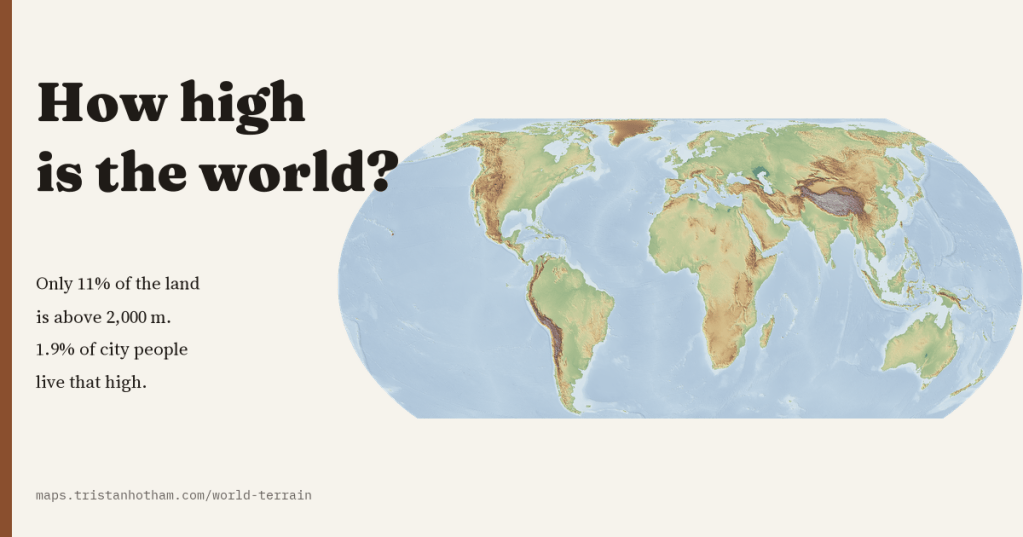
A map of the height of the whole planet, sharp from continents to valleys. The world’s land averages 807 m, only 11% of it is above 2,000 m, and only 1.9% of the people in its cities live that high.
-
Named after somewhere else: mapping the places named after other places
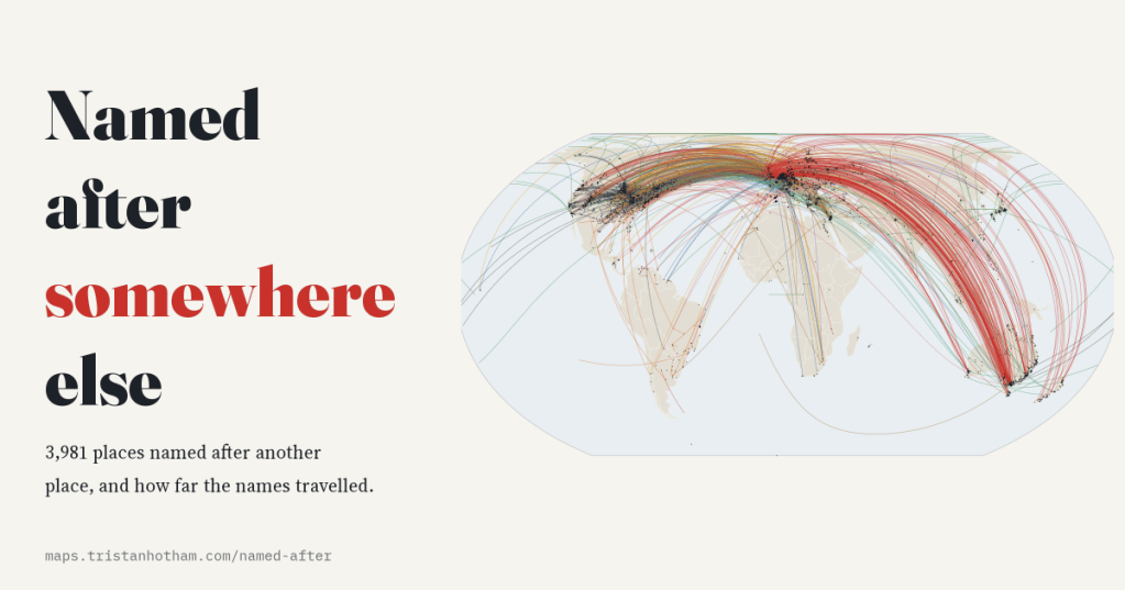
I mapped the 3,981 settlements Wikidata says are named after another place. Most names come from a river or the town next door, but 14% crossed an ocean, and Britain gave away more names than anywhere else.
-
Ships before steam: the trade-wind highways of the age of sail, drawn from real logbooks
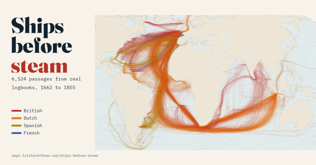
6,524 passages from British, Dutch, Spanish and French ships’ logbooks, 1750 to 1850. Drawn as lines, they show ships running out with the trade winds, looping home past the Azores and racing east through the roaring forties to Java.
-
Who held the map? Twelve centuries of the world in flags
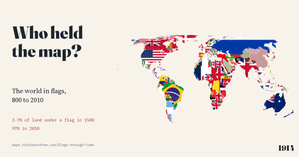
The world map from 800 to 2010, each piece of land filled with the flag of whoever held it. In 1000 no land can honestly be shown with a flag; in 1500, 3.7%; by 2010, 97%.

