
Tag: Satellite and lidar
-
A lidar map of the world: the ground beneath the trees
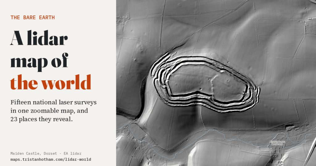
Fifteen national laser surveys in one zoomable map. Hillforts hidden in forests, the craters of Verdun, the mine craters of Messines, Roman gold mines and the biggest burial mound in Japan: what the land looks like with every tree and building taken away.
-
The Earth at night: where the world lit up and where it went dark
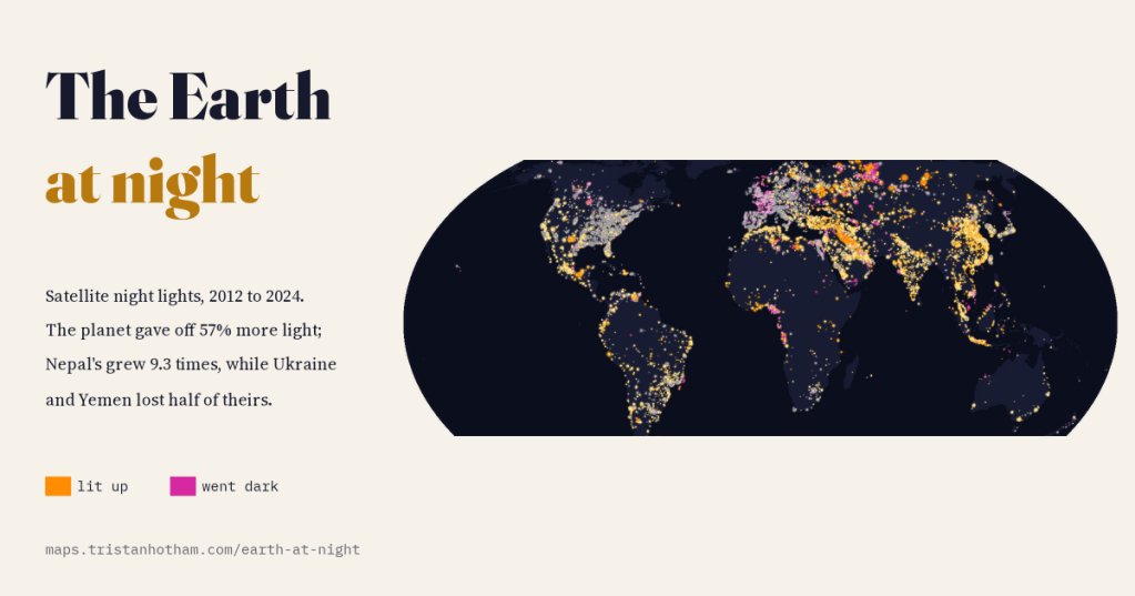
Seen from space, the planet gave off 57% more light in 2024 than in 2012. Nepal’s light grew 9.3 times and Africa’s cities blazed up, while war halved the light of Ukraine and Yemen, and new LED street lamps made France look 40% darker than it is.
-
How high is the world? Mountains, plateaus and height above sea level on one map
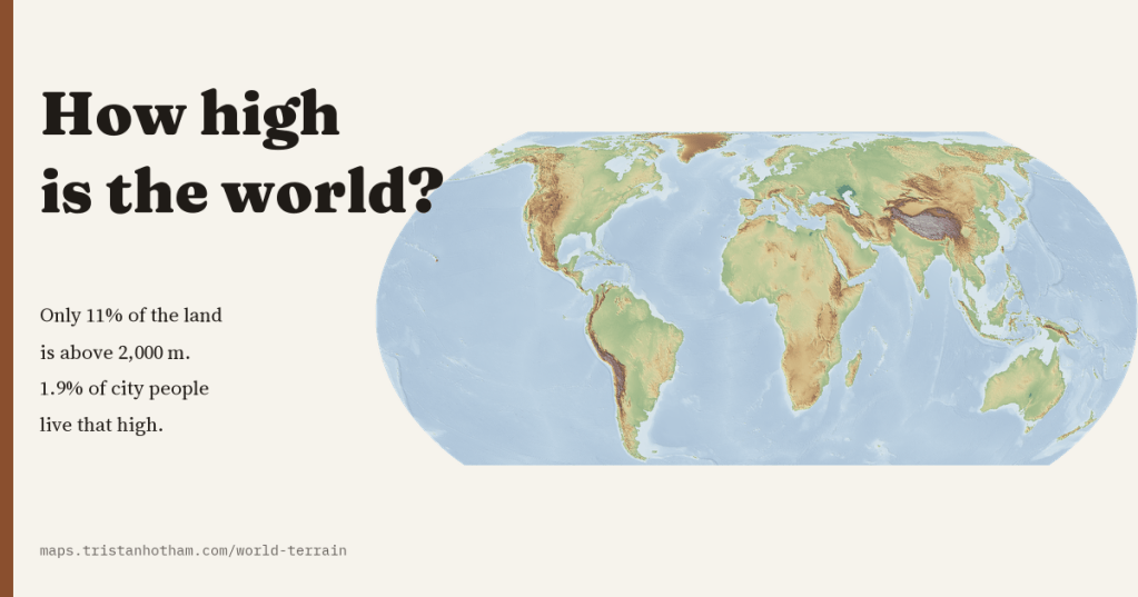
A map of the height of the whole planet, sharp from continents to valleys. The world’s land averages 807 m, only 11% of it is above 2,000 m, and only 1.9% of the people in its cities live that high.
-
Britain’s sunless valleys
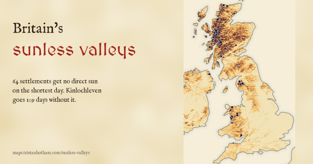
On the shortest day the sun barely clears the horizon, and hills hide it. I drew the winter sun across the skyline of every town and village in the UK: 64 get no direct sun at all on 21 December, and Kinlochleven goes 109 days without it.
-
Darkest skies: where you can still see the Milky Way
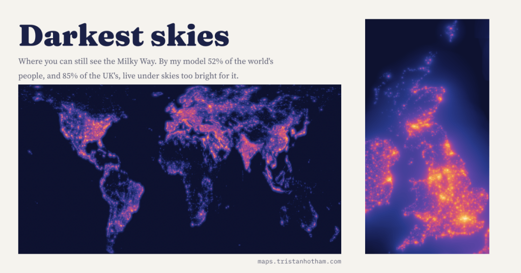
I modelled the glow of the world’s lights from satellite images and checked it against 6,653 sky meter readings. By my count 52% of people, and 85% in the UK, cannot see the Milky Way from home.

