
Tag: Hills and mountains
-
A lidar map of the world: the ground beneath the trees
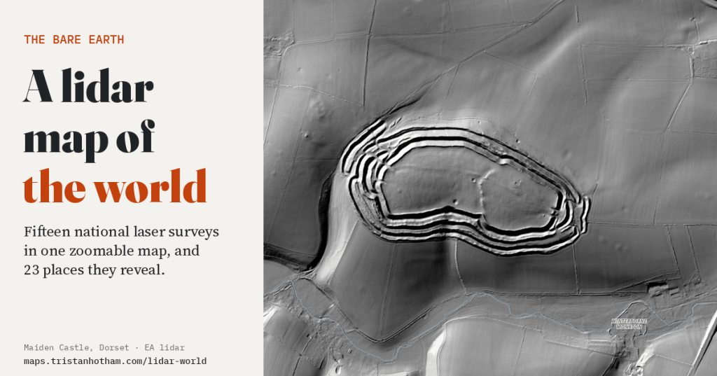
Fifteen national laser surveys in one zoomable map. Hillforts hidden in forests, the craters of Verdun, the mine craters of Messines, Roman gold mines and the biggest burial mound in Japan: what the land looks like with every tree and building taken away.
-
A Tolkien-style map of the whole world, drawn from real data
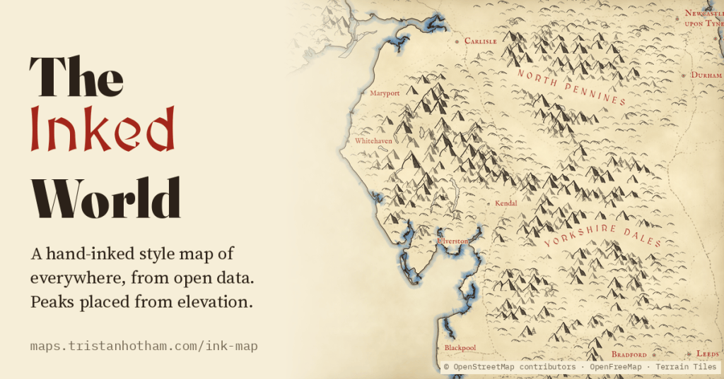
A Tolkien-style map of the whole world, zoomable from continents to single hills: little ink peaks on the real high ground, forests of tiny trees, rippled coasts, red lettering and towns drawn as tiny houses, all generated from open data.
-
How deep is the sea? The ocean floor, its trenches and seamounts, on one map
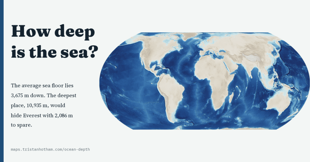
A map of the floor of the whole ocean, sharp from ocean basins to seamounts. The average sea floor lies 3,675 m down, 74% of it is abyssal, the Challenger Deep would hide Everest with 2,086 m to spare, and only 28.7% of the floor is mapped to modern standards.
-
How high is the world? Mountains, plateaus and height above sea level on one map
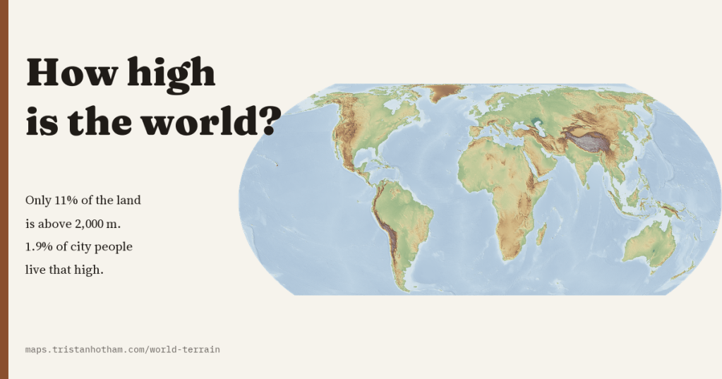
A map of the height of the whole planet, sharp from continents to valleys. The world’s land averages 807 m, only 11% of it is above 2,000 m, and only 1.9% of the people in its cities live that high.
-
Who’s on the mountains? The birthplaces of the people the world’s peaks are named after
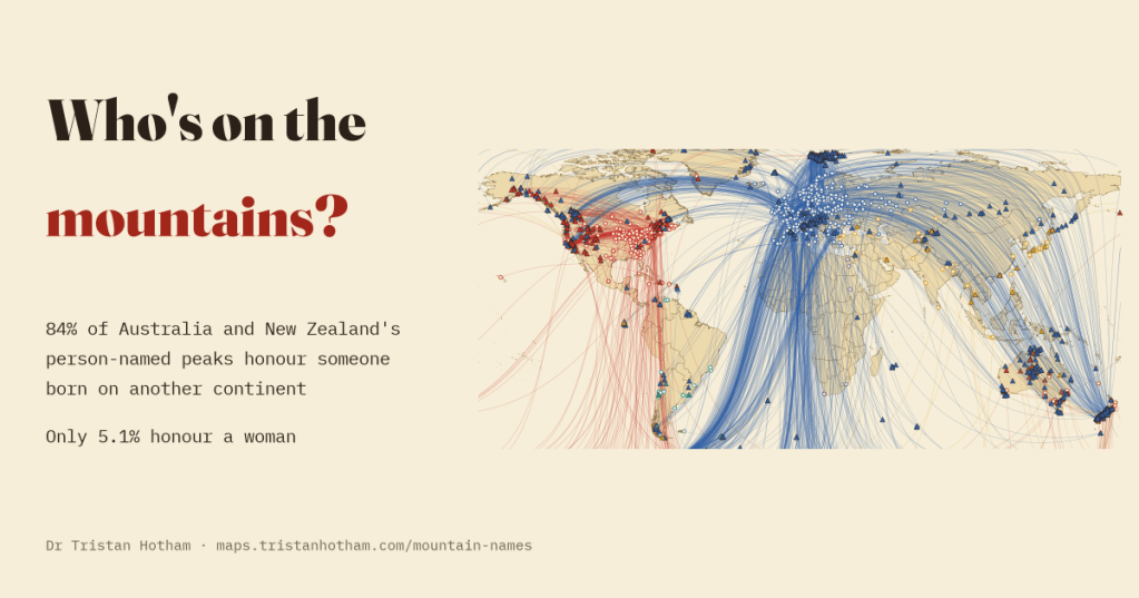
I linked 2,228 mountains named after people to their namesakes’ birthplaces. 84% of the person-named peaks of Australia and New Zealand honour someone born on another continent.

