
Tag: Empire and colonialism
-
Named after somewhere else: mapping the places named after other places
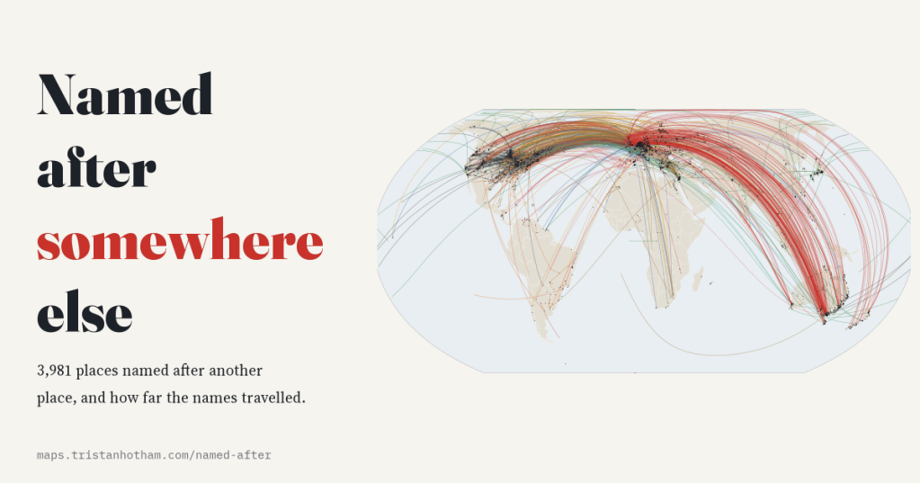
I mapped the 3,981 settlements Wikidata says are named after another place. Most names come from a river or the town next door, but 14% crossed an ocean, and Britain gave away more names than anywhere else.
-
Transported: every convict ship to Australia, mapped
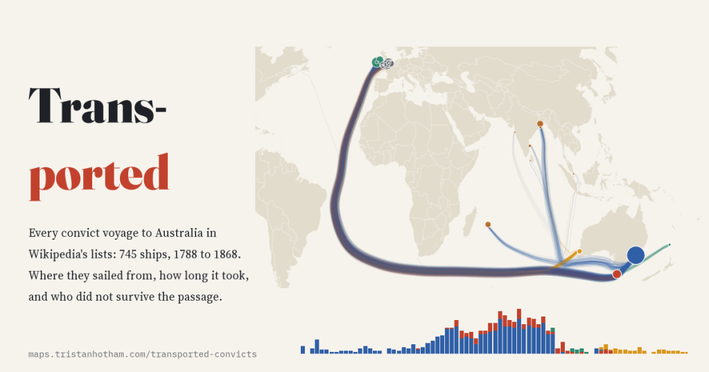
Britain shipped about 162,000 convicts to Australia. I mapped all 745 voyages in Wikipedia’s ship lists: the busiest port was Cork, the busiest year 1833, and the Second Fleet lost a quarter of its convicts at sea.
-
Where the borders are straight: who drew the world’s ruler lines, and is Africa really the straightest?
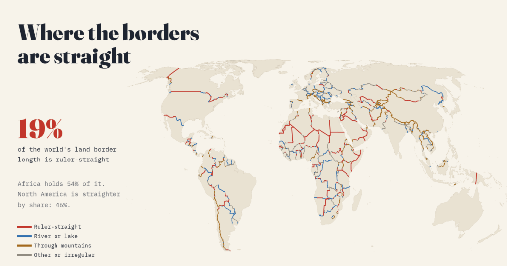
I measured every land border on Earth. 19% is ruler-straight, and Africa holds 54% of it, but North America is straighter by share. Plus the treaties behind the 40 longest straight lines.
-
Who held the map? Twelve centuries of the world in flags
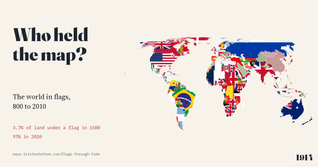
The world map from 800 to 2010, each piece of land filled with the flag of whoever held it. In 1000 no land can honestly be shown with a flag; in 1500, 3.7%; by 2010, 97%.
-
The star fort belt: how the bastion spread around the world
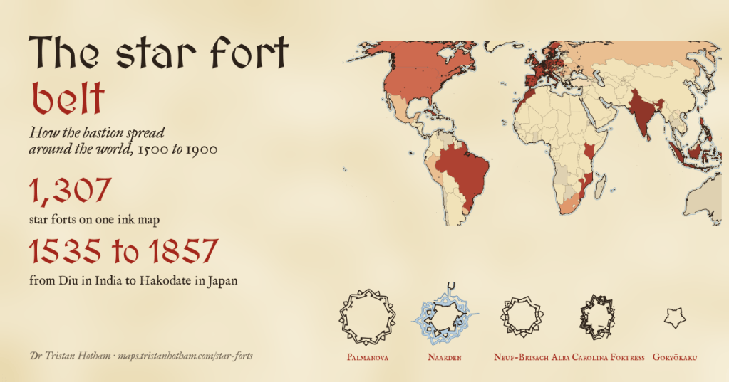
I mapped 1,307 star forts in ink, from Palmanova to Hakodate. Only 19% can be dated, but the dates tell a clear story: the bastion did not creep out of Italy, it sailed, reaching India, Morocco and the Caribbean as early as Germany and England.

