
Tag: Long view
-
Who held the map? Twelve centuries of the world in flags
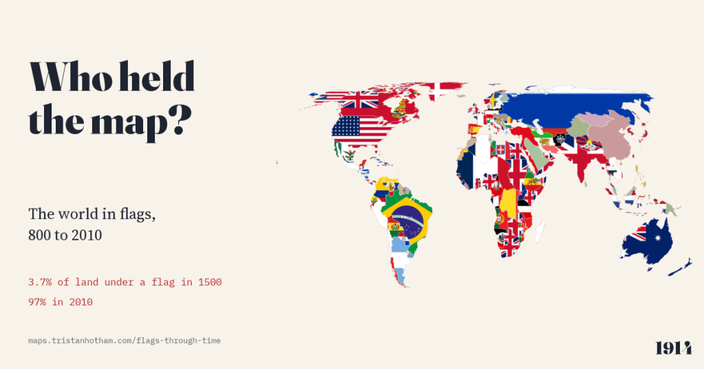
The world map from 800 to 2010, each piece of land filled with the flag of whoever held it. In 1000 no land can honestly be shown with a flag; in 1500, 3.7%; by 2010, 97%.
-
Named after somewhere else: mapping the places named after other places
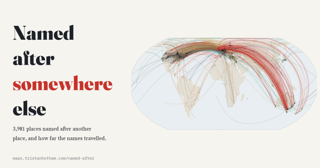
I mapped the 3,981 settlements Wikidata says are named after another place. Most names come from a river or the town next door, but 14% crossed an ocean, and Britain gave away more names than anywhere else.
-
Every tsunami on record: where they start, where the water went, and who died
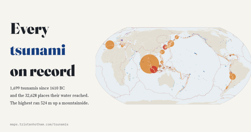
I mapped all 1,699 tsunamis in NOAA’s Global Historical Tsunami Database since 1610 BC and the places their water reached. 72% started with an earthquake, the highest ran 524 m up a mountainside, and 2004 alone accounts for 42% of recorded deaths.
-
Painted places: where landscape painters painted, and how far from home they went
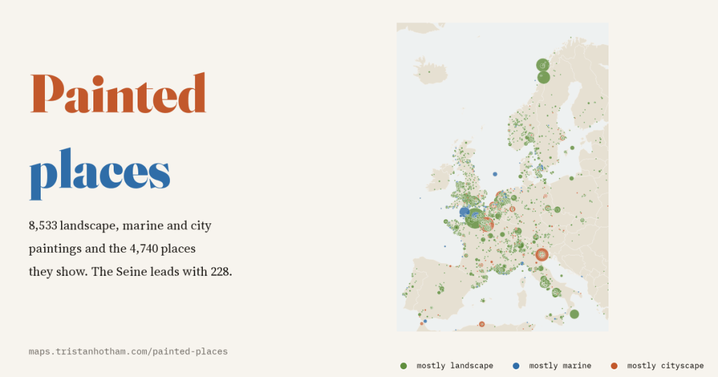
I mapped 8,533 landscape, marine and city paintings from Wikidata and the 4,740 places they show. The most painted place is a river, the Seine, and half the paintings were made more than 231 km from the painter’s birthplace.
-
The largest city on Earth: six thousand years of the world’s biggest cities
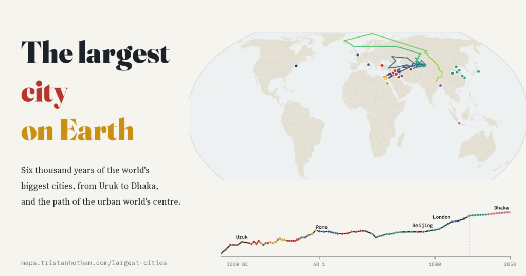
From Uruk to Dhaka: I followed the title of the world’s largest city through 85 snapshots from 3700 BC to 2050. 30 cities have held it, Chinese capitals for most of seven centuries, London for about 99 years, and the centre of the urban world has wandered from Mesopotamia to the Atlantic and back to…

