
Tag: Coasts and islands
-
How close did Ino get? Japan’s first measured map against a modern one
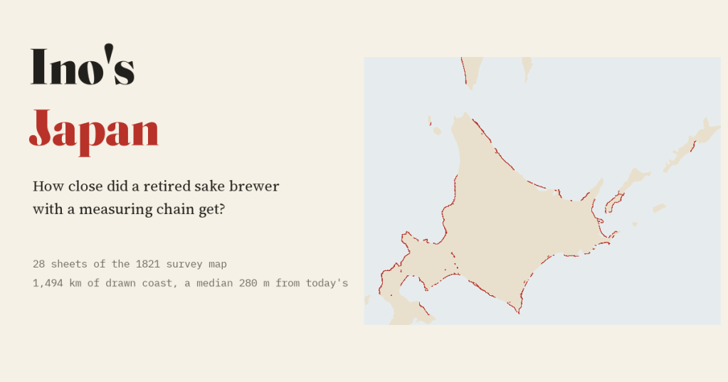
A retired sake brewer measured Japan on foot. I laid 28 sheets of his 1821 map on today’s coast: a typical sheet’s coast sits a median 280 m from the modern line.
-
Every tsunami on record: where they start, where the water went, and who died
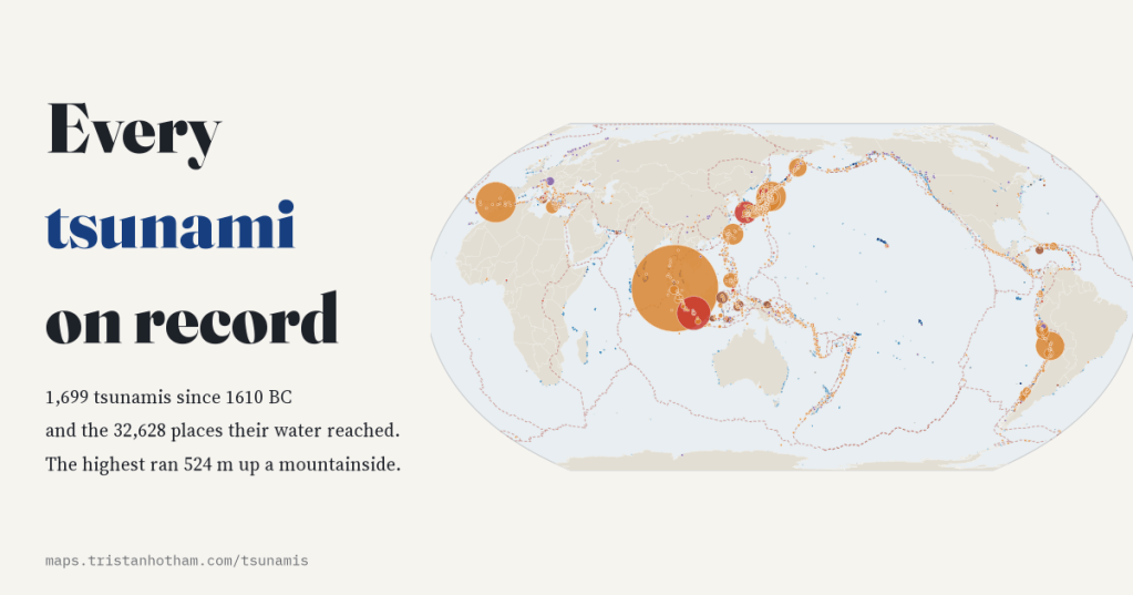
I mapped all 1,699 tsunamis in NOAA’s Global Historical Tsunami Database since 1610 BC and the places their water reached. 72% started with an earthquake, the highest ran 524 m up a mountainside, and 2004 alone accounts for 42% of recorded deaths.
-
Lighthouses of the world: every light on one glowing map
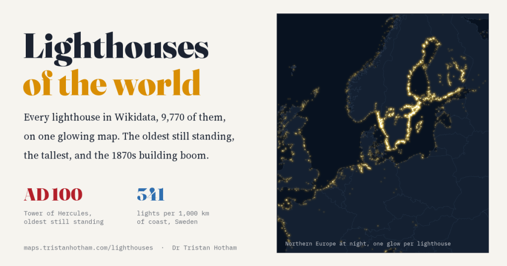
Wikidata knows of 9,770 lighthouses. I mapped them all and switched them on. Most were built in the industrial century, the oldest still standing is Roman, and the brightest coast belongs to Sweden, partly because Sweden wrote its lights down.
-
Where the world’s islands are
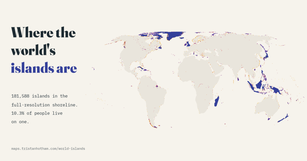
I counted every island in a detailed open map of the world’s shorelines: 181,588 of them, 23,150 over a square kilometre. Canada has the most, and 10.3% of the world’s people live on one.
-
Holy islands: monks, hermits and the edge of the world
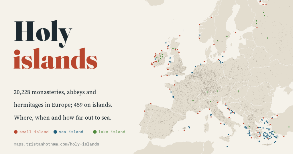
Skellig Michael, Iona, Lindisfarne, Bardsey: I checked 20,228 monasteries, abbeys and hermitages across Europe against a detailed shoreline. Before 800, 4.3% of dated houses stood on islands; after 1100, about one in a hundred.

