
Tag: Map accuracy
-
How close did Ino get? Japan’s first measured map against a modern one
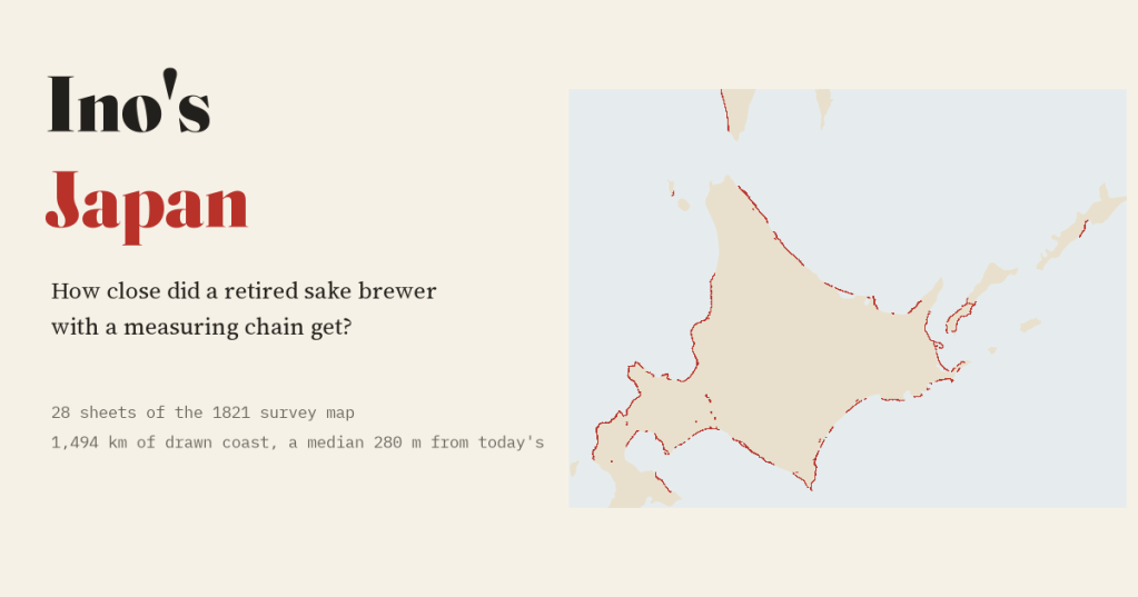
A retired sake brewer measured Japan on foot. I laid 28 sheets of his 1821 map on today’s coast: a typical sheet’s coast sits a median 280 m from the modern line.
-
Al-Idrisi’s world: the map made for Roger II of Sicily, set against a modern one
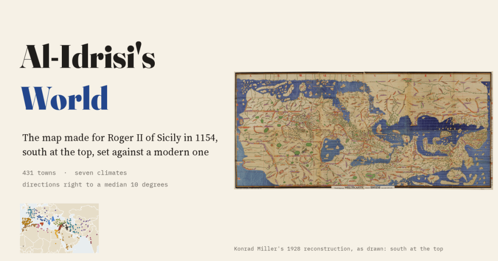
In 1154 a Muslim geographer in Palermo drew the known world for the Norman king of Sicily, south at the top. I read 431 of its towns and measured it: directions right to a median 10 degrees, and Sicily drawn best and biggest of all.
-
The Peutinger Table: a Roman road map that squashed the world
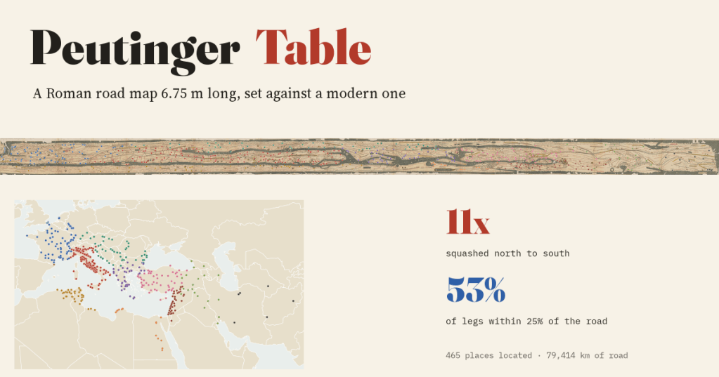
I set a Roman road map 6.75 m long beside a modern one. It squashes the world 11 times north to south, yet 53% of its road distances are within 25% of the real road, and it switches to Gallic leagues exactly where it says it does.
-
Ptolemy’s world, measured
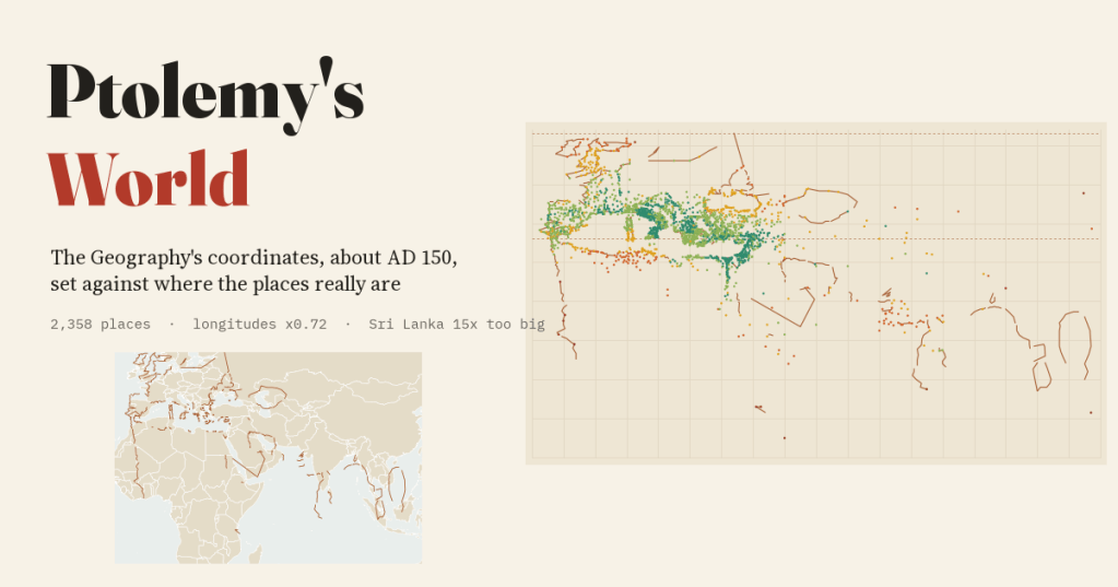
Ptolemy wrote the ancient world down as a table of coordinates. I matched 2,358 of his places to where they really are: shrink his longitudes by 0.72 and the map falls into place, but Scotland is still turned on its side and Sri Lanka is 15 times too big.
-
The world according to the Hereford Mappa Mundi
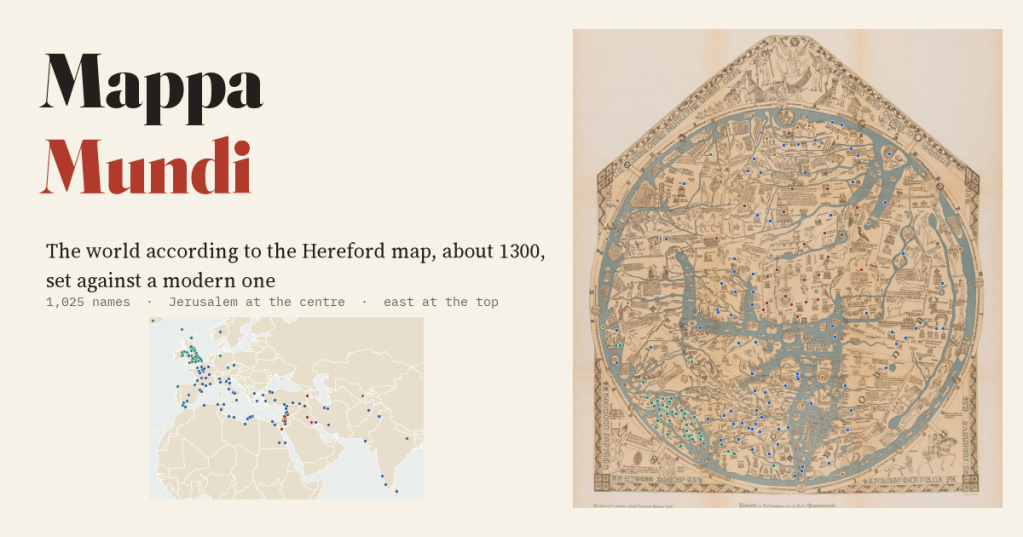
I set the largest surviving medieval map of the world beside a modern one. Its directions from Jerusalem are mostly right; its scale is not: the Holy Land is drawn 4.5 times too big, and Britain has 8% of its names.

