
Tag: Map accuracy
-
How accurate were old maps?
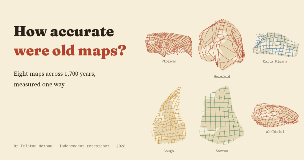
Eight old maps, from Ptolemy to Ino’s survey of Japan, measured one way. Errors run from 1.7% to 26.0% of the area mapped, and they follow what a map was for more than when it was made.
-
Saxton’s atlas, measured
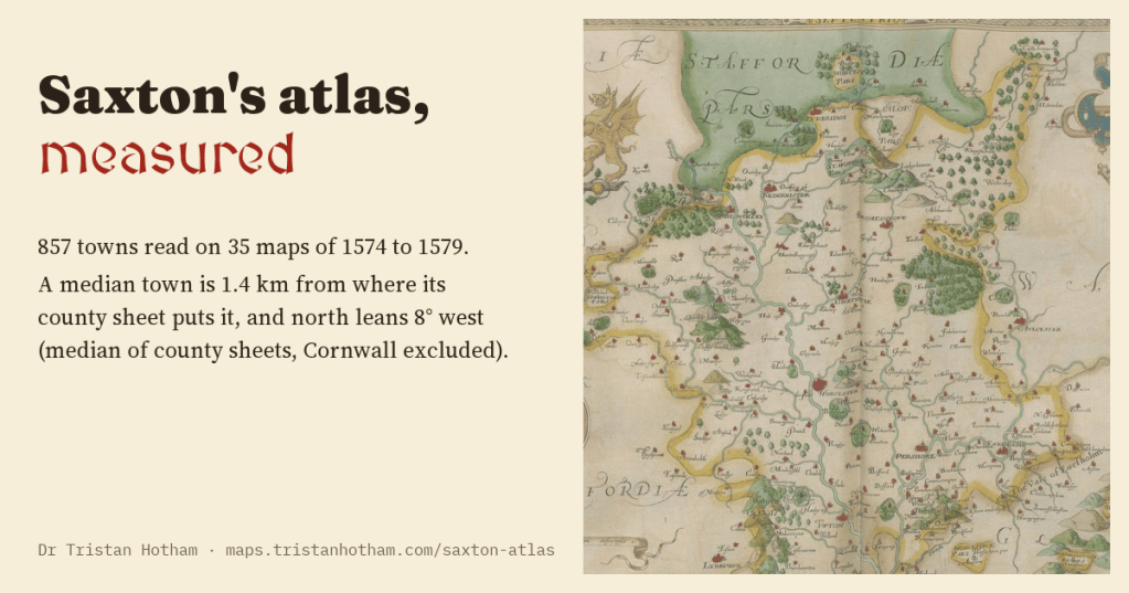
I read 857 towns on Christopher Saxton’s maps of England and Wales (1574 to 1579). A typical town is 1.4 km out, and on 31 of 34 county sheets north leans west by about 8 degrees (Cornwall excluded), close to the compass variation of the day.
-
How accurate were portolan charts?
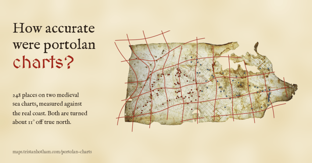
I read 349 places on the Carta Pisana and the Catalan Atlas and measured them against the real coast. Both charts are turned about 11 degrees off north, the Mediterranean is drawn to within a few dozen kilometres, and beyond Gibraltar they fall apart.
-
The Gough Map: Britain’s oldest road map, measured
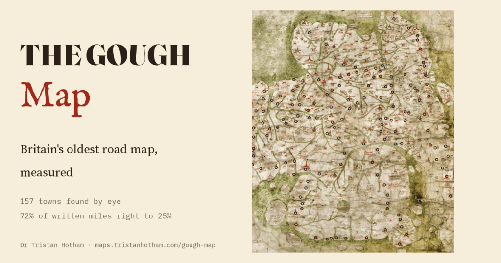
I found 157 towns by eye on a map of Britain drawn about 1360. Its shape puts a typical town 18 km out of place and blows Wales up, yet 72% of the miles written along its red roads are within 25% of the real road.

