
Tag: Coasts and islands
-
Can you see the sea?
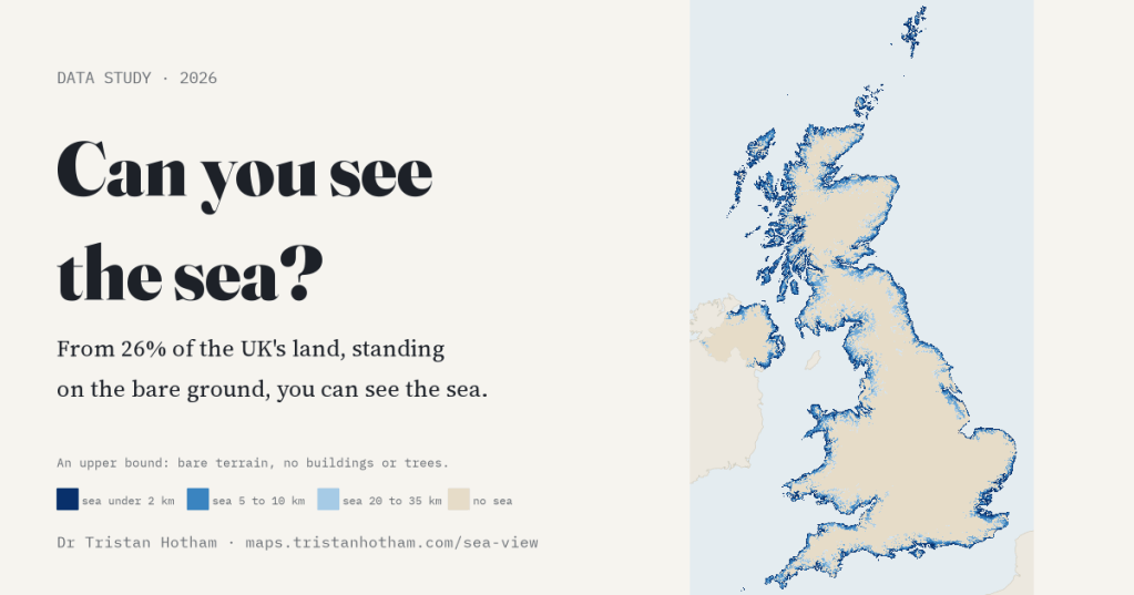
I traced 360 sight lines from every 1 km square of the UK. Standing on the bare ground, 26% of the land has the sea in view; from an upstairs window, 29%. The farthest square from any sea view is near Donington le Heath.
-
Where the lifeboats go: five years of RNLI launches mapped
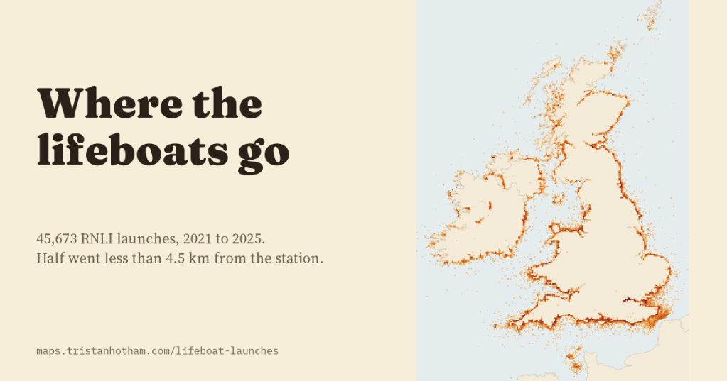
I looked at all 45,673 RNLI lifeboat launches from 2021 to 2025. Half went less than 4.5 km from the station, summer belongs to leisure boats, and the busiest station of all is on the Thames.
-
Where the sun sets into the sea: sea sunsets and sunrises at the beaches of Britain and Ireland
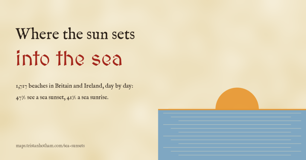
I traced the Sun’s path from 1,717 beaches in Britain and Ireland, day by day: 47% see the Sun set into open sea on some day of the year, only 52 every day, and islands like Arran and Lundy take a bite out of the year.
-
Drowned and rising: Britain and the world at every sea level
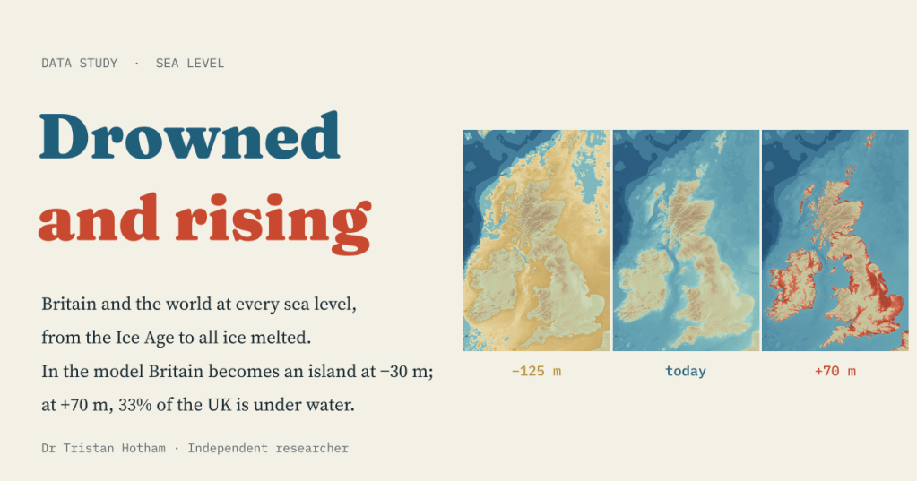
A bathtub model of every sea level from the Ice Age to an ice-free world. In the model Britain becomes an island at −30 m; at +70 m, 33% of the UK is under water.
-
Did the railway invent the seaside?
Britain’s seaside resorts were already growing 1.6% a year before any railway reached them. The line brought a burst in the decade it opened, and did most for resorts that had been slow before.

