
Tag: Hand-inked map
-
A Tolkien-style map of the whole world, drawn from real data
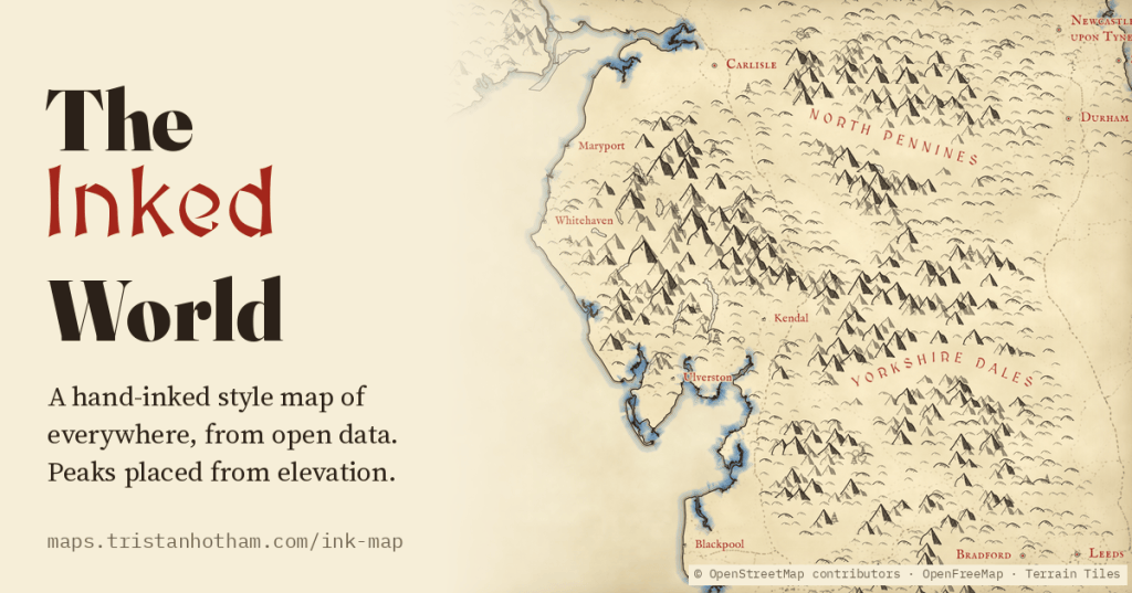
A Tolkien-style map of the whole world, zoomable from continents to single hills: little ink peaks on the real high ground, forests of tiny trees, rippled coasts, red lettering and towns drawn as tiny houses, all generated from open data.
-
England in 1086, drawn: every Domesday vill on a hand-inked map
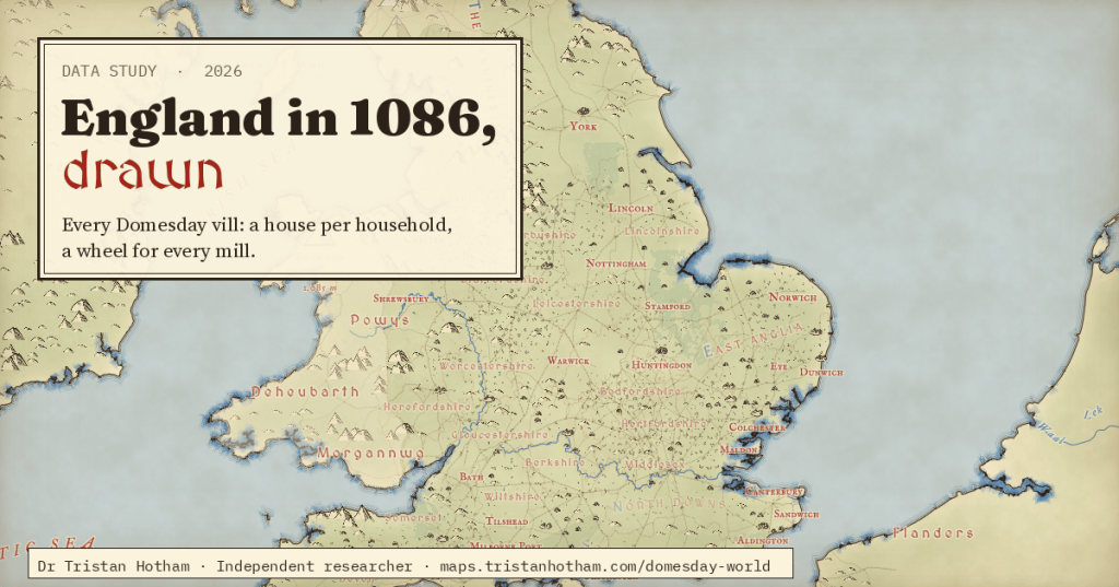
A fantasy-novel map of the real England of 1086, where every house, mill, plough team and flock comes from Domesday Book.
-
Caravanserais of the Silk Roads: a day’s march apart?
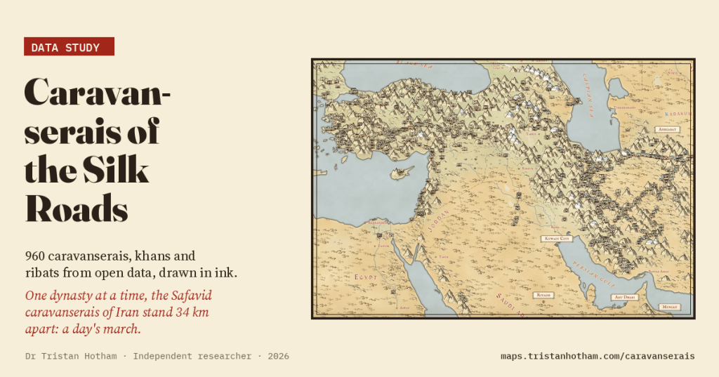
960 caravanserais, khans and ribats from Wikidata and OpenStreetMap on a hand-inked map. All together they crowd closer than a day’s march; one dynasty at a time, the Safavid caravanserais of Iran stand a median 34 km apart.

