
Tag: Clustering test
-
What each constituency signs
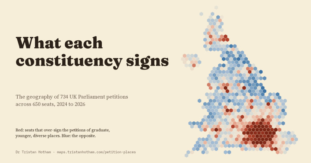
I mapped 734 UK Parliament petitions across all 650 constituencies. Every map is clustered, local causes are far more lopsided than other topics, and seats differ along two signature personalities that barely change over time.
-
Caravanserais of the Silk Roads: a day’s march apart?
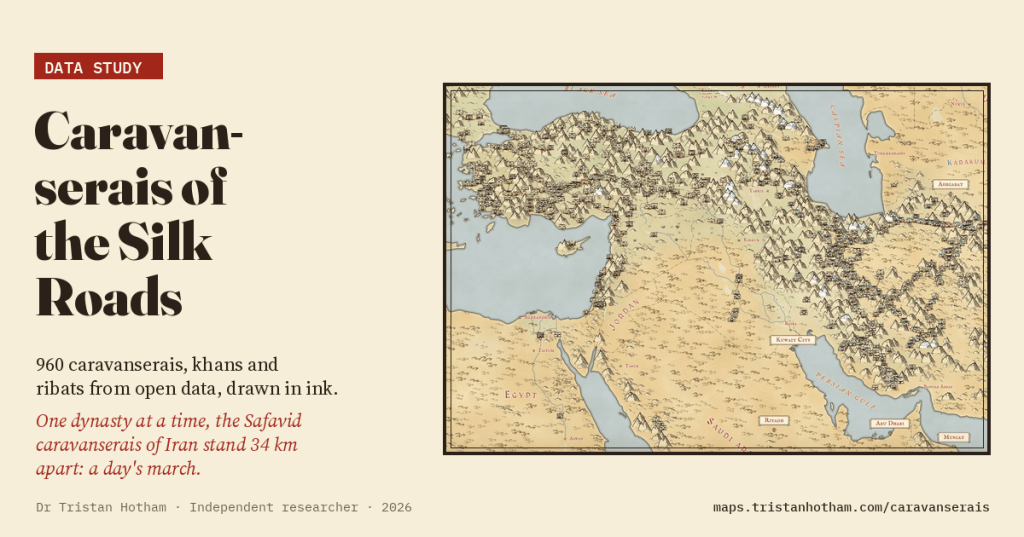
960 caravanserais, khans and ribats from Wikidata and OpenStreetMap on a hand-inked map. All together they crowd closer than a day’s march; one dynasty at a time, the Safavid caravanserais of Iran stand a median 34 km apart.
-
Ley lines, tested: are Britain’s ancient sites lined up more than chance allows?
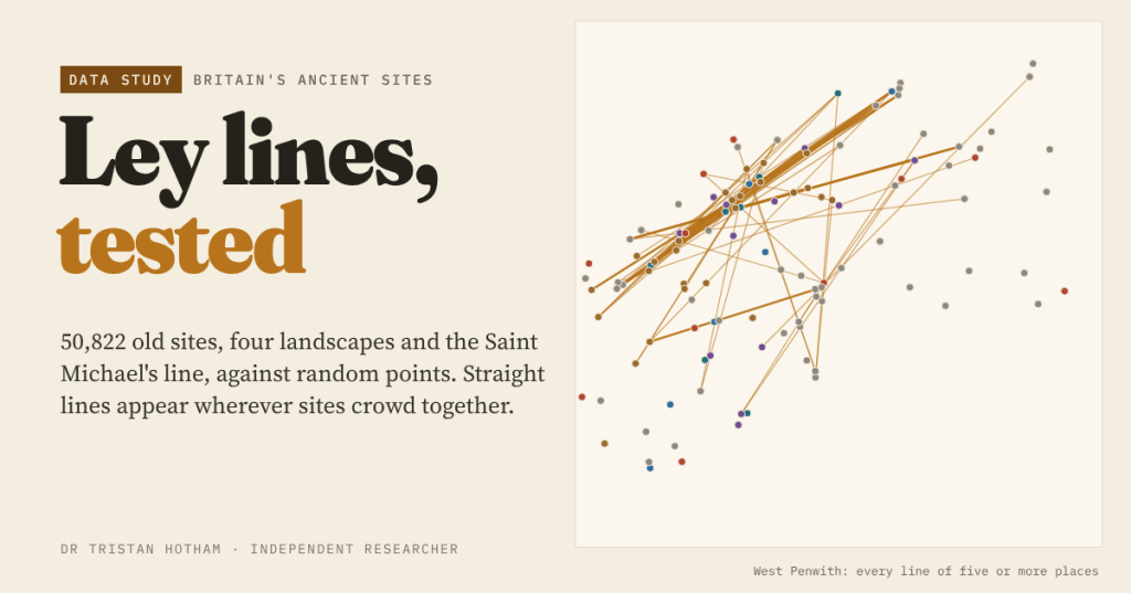
Alfred Watkins saw straight lines of old sites across Herefordshire in 1921. I mapped 50,822 churches, barrows, stones, hillforts and holy wells and compared every alignment with random points: crowding, not planning, explains the leys.

