
Tag: Present day
-
What’s the king on your postbox?
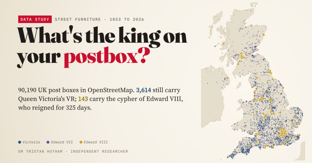
OpenStreetMap’s volunteers have read the royal cypher on 61,435 UK post boxes. 3,614 still carry Victoria’s VR, 143 the cypher of Edward VIII, and the mix on a town’s streets says something about when it was built.
-
The lido boom and bust: how Britain built, closed and saved its open-air pools
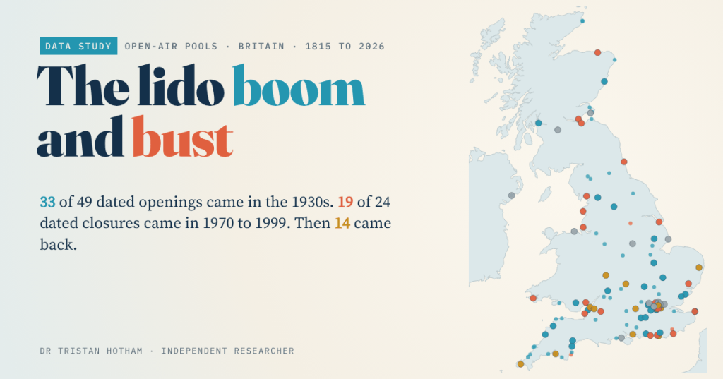
In the 1930s Britain built lidos; from the 1970s it closed them; since 2000 some have come back. I built an open register of 73 lidos: 33 of 49 dated openings came in the 1930s, and 14 closed pools have reopened.
-
Did the Pits Closing Still Show?
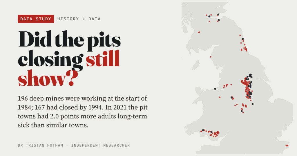
196 deep mines were working in Britain at the start of 1984, and 167 had closed by 1994. Forty years on, the pit towns of England and Wales have 2.0 points more adults long-term sick than similar towns, whenever their pit closed.
-
Where are Britain’s oldest trees?
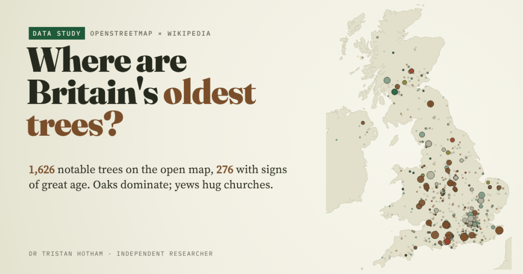
I mapped the 1,626 notable trees on OpenStreetMap. Oaks dominate, yews hug the old churches, a few giants stand in the old royal forests, and the map shows the mappers as much as the trees.
-
Market towns that failed: what became of the medieval markets of England and Wales?
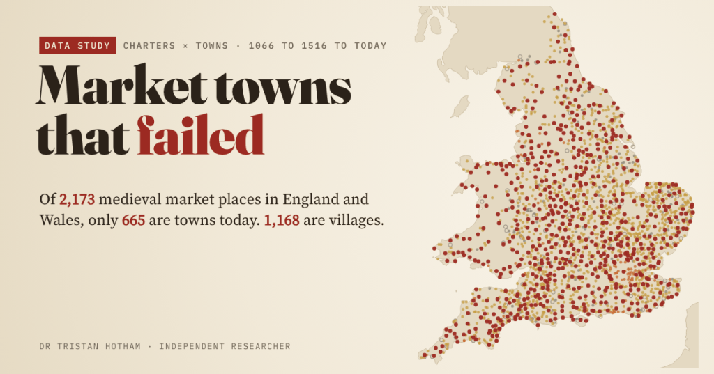
Medieval kings licensed markets in their thousands, each a bet that a village would become a town. I followed all 2,173 market places in England and Wales to today: 665 are towns, 1,168 are villages, and a few are fields or sea.

