
Tag: Trees and woodland
-
Desert, forest, ice: the world in 1900 and now
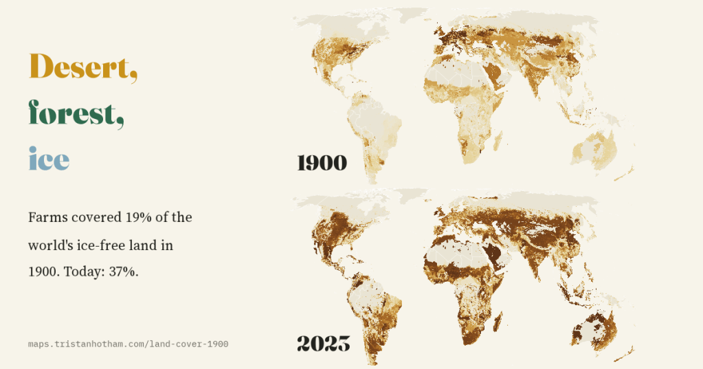
In 1900 farms covered 19% of the world’s ice-free land. Today they cover 37%. Two maps from HYDE 3.3 show where the new fields and pastures came from, which forests went, and where the trees came back.
-
What grows where: the trees of Britain and the world
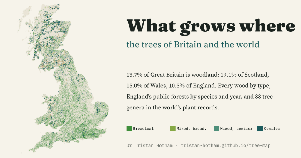
An explorable map of every wood in Great Britain by type, England’s public forests by species and planting year, and 88 tree genera in the world’s plant records. Woodland covers 13.7% of Great Britain: 19.1% of Scotland but 10.3% of England.
-
Where are Britain’s oldest trees?
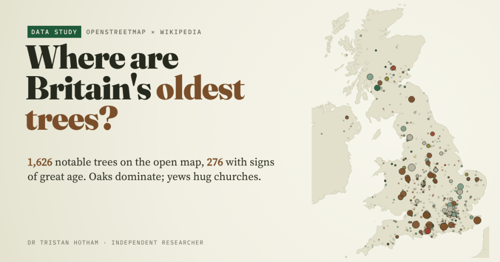
I mapped the 1,626 notable trees on OpenStreetMap. Oaks dominate, yews hug the old churches, a few giants stand in the old royal forests, and the map shows the mappers as much as the trees.

