
Tag: Lost places
-
London’s buried rivers: what still flows in the open, and what runs in the dark
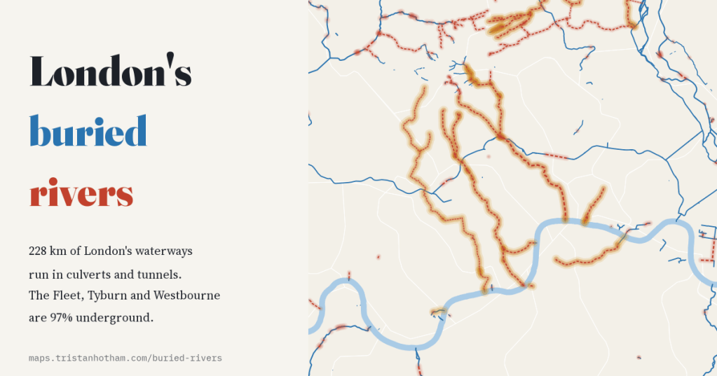
I mapped every waterway OpenStreetMap records in Greater London. 228 km of it, about one kilometre in 6, runs in culverts and tunnels, and the Fleet, Tyburn and Westbourne are 97% underground.
-
Drowned valleys: the villages flooded for reservoirs in the age of big dams
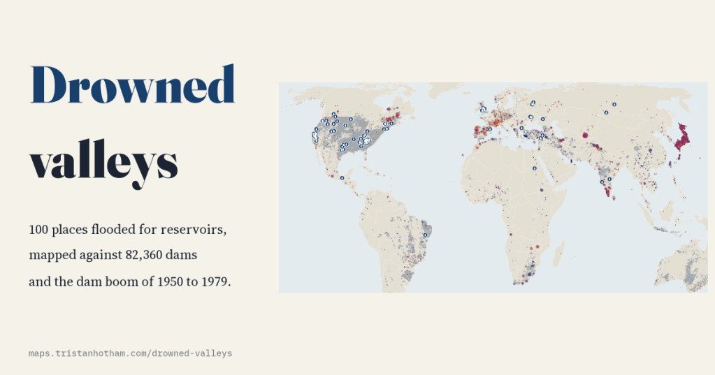
From Capel Celyn to Mologa and the Lost Villages of the St Lawrence, I mapped the 100 places Wikipedia records as flooded by reservoirs. Most went under between 1930 and 1979, just as the world’s dam building peaked.
-
Ghost towns of the world: where places were abandoned, and why
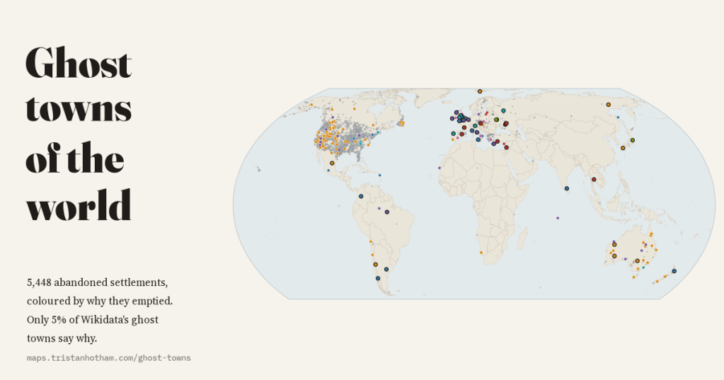
I mapped 5,448 abandoned settlements in open data and coloured each by why it emptied: mining, war, disaster, reservoirs, Chernobyl and medieval decline. 80% of Wikidata’s ghost towns are American, and only 5% say why.
-
Market towns that failed: what became of the medieval markets of England and Wales?
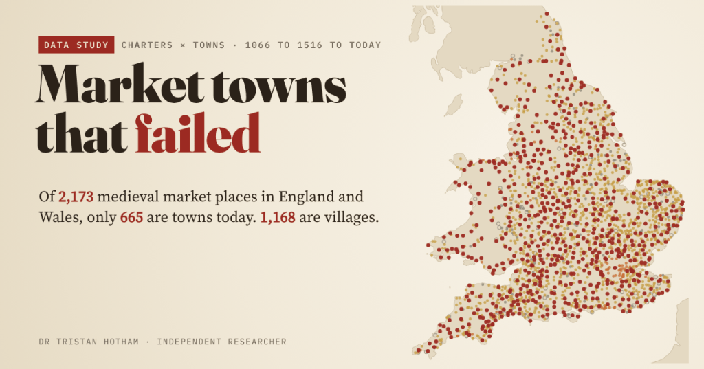
Medieval kings licensed markets in their thousands, each a bet that a village would become a town. I followed all 2,173 market places in England and Wales to today: 665 are towns, 1,168 are villages, and a few are fields or sea.
-
Rotten Boroughs: Where Are They Now?
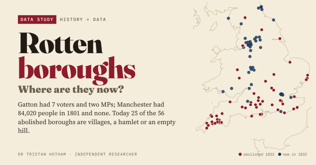
Before 1832 Gatton had 7 voters and two MPs while Manchester had none. I mapped all 56 boroughs the Reform Act abolished: today 25 are villages, a hamlet or an empty hill.

