
Tag: Terrain model
-
The trig pillar network: how Britain was measured
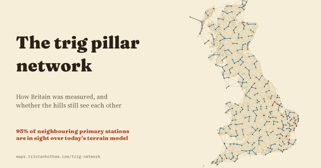
I mapped all 6,573 Ordnance Survey trig pillars and tested the rule they were built to: every station must see its neighbours. Using the surveyed station heights over a modern terrain model, 95% of neighbouring primary stations still can; random lines of the same length, 11%.
-
Manhattanhenge for every British town
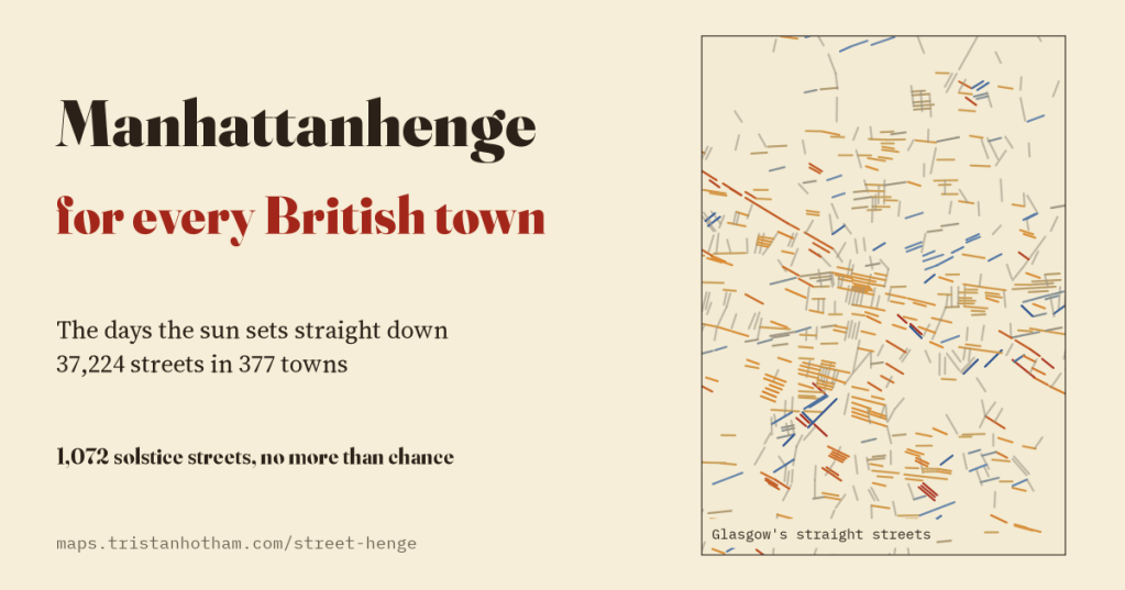
On which days does the sun set straight down your street? I worked it out for 37,224 straight streets in 377 UK towns and cities, with the hills on the skyline. 1,072 line up with a solstice, about as many as chance would give, and Midsummer Boulevard in Milton Keynes misses midsummer.
-
Britain’s sunless valleys
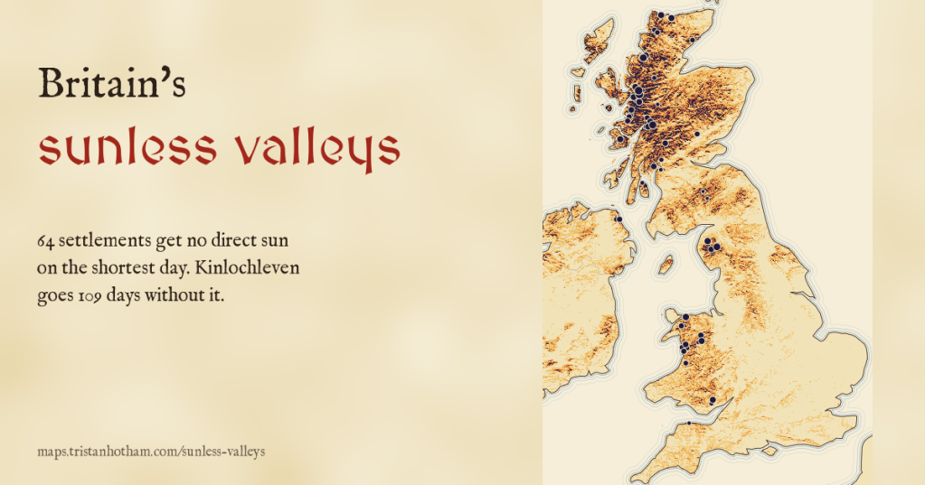
On the shortest day the sun barely clears the horizon, and hills hide it. I drew the winter sun across the skyline of every town and village in the UK: 64 get no direct sun at all on 21 December, and Kinlochleven goes 109 days without it.
-
Where rain goes: which sea does your rain end up in?
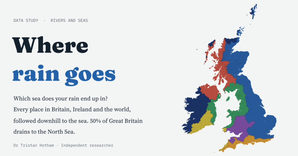
Every place in Britain, Ireland and the world, followed downhill to the sea. 50% of Great Britain drains to the North Sea, Wales sends none of its rain there, and 24% of the world’s land never reaches the sea at all.
-
Drowned and rising: Britain and the world at every sea level
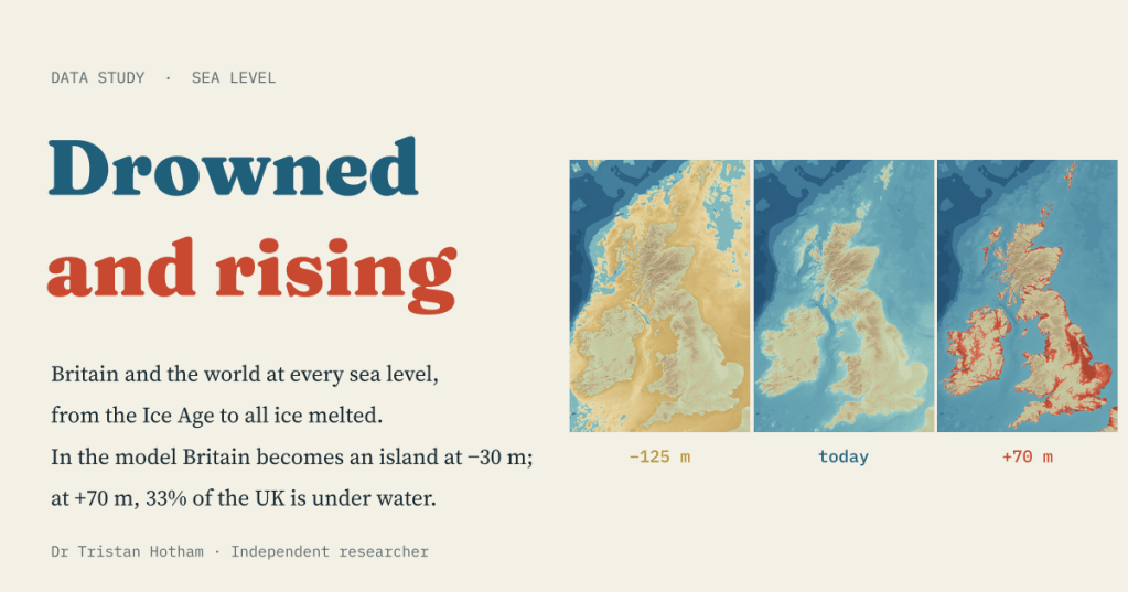
A bathtub model of every sea level from the Ice Age to an ice-free world. In the model Britain becomes an island at −30 m; at +70 m, 33% of the UK is under water.

