
Tag: Data bias
-
What grows where: the trees of Britain and the world
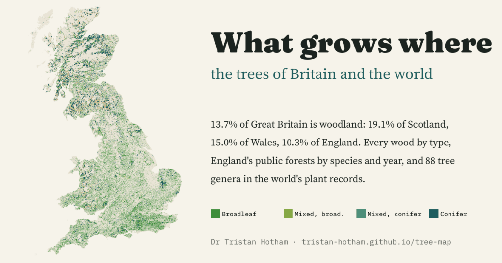
An explorable map of every wood in Great Britain by type, England’s public forests by species and planting year, and 88 tree genera in the world’s plant records. Woodland covers 13.7% of Great Britain: 19.1% of Scotland but 10.3% of England.
-
Britain in AD 500: what the ground tells us
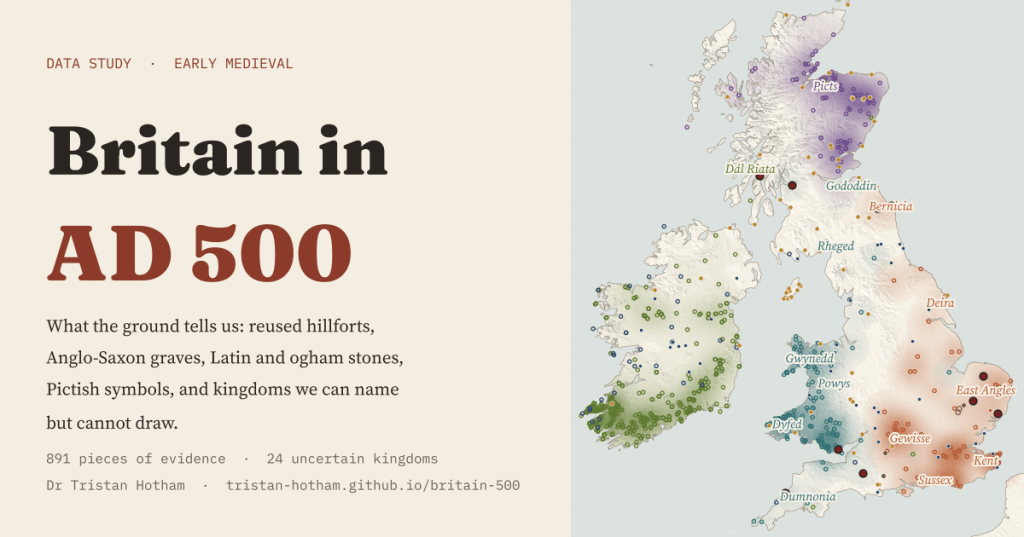
Maps of Britain in AD 500 show neat kingdoms. I mapped what the ground can place instead: 891 pieces of evidence, a sharp east of graves and west of stones, and 24 kingdoms we can name but not draw.
-
Britain’s earthquakes since 1382: the big ones, the coalfield quakes and the biggest near you
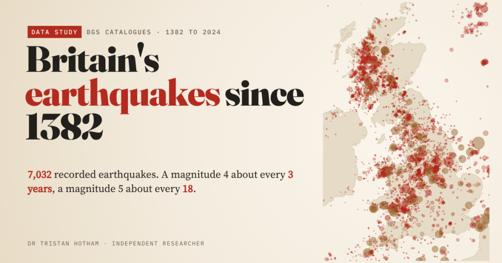
I mapped all 7,032 earthquakes in the British Geological Survey’s catalogues since 1382. Britain has a magnitude 4 about every 3 years, and its busiest modern earthquake zones were coalfields.
-
There and Back Again: 2,500 years of great journeys, and how sure we are that they happened
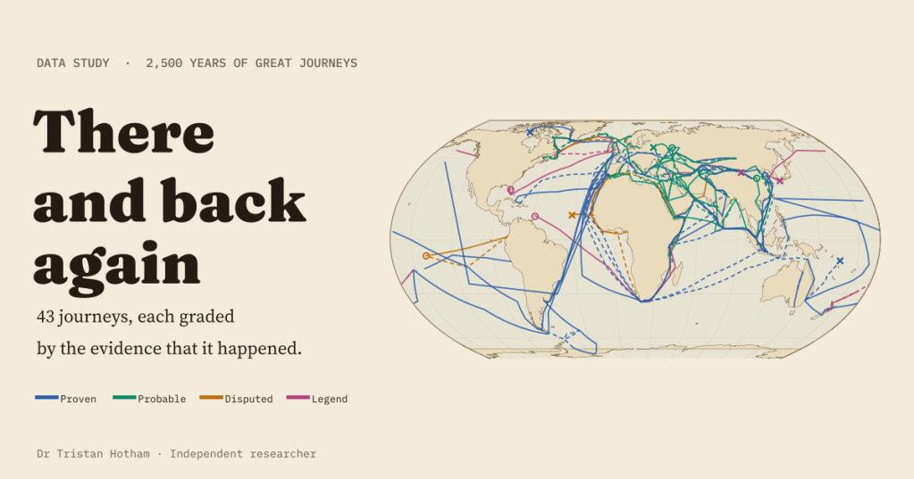
I mapped 43 great journeys from about 600 BC to 1947, out and back, and graded each by its evidence. 18 are proven and 7 are legends, and 11 of the 12 journeys after 1450 are proven against 7 of the 31 before.
-
Is the barrow a European thing?
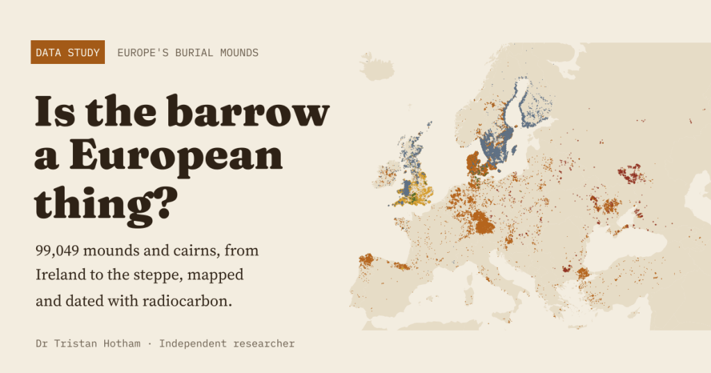
I mapped 99,049 burial mounds and cairns from Ireland to the steppe and dated them with radiocarbon. The famous northern barrow belt is partly a belt of good records; the pattern that survives is earth against stone, and a Bronze Age peak.

