
Tag: Ships and the sea
-
By road and by sea: the fastest way from Rome to anywhere in the Roman Empire
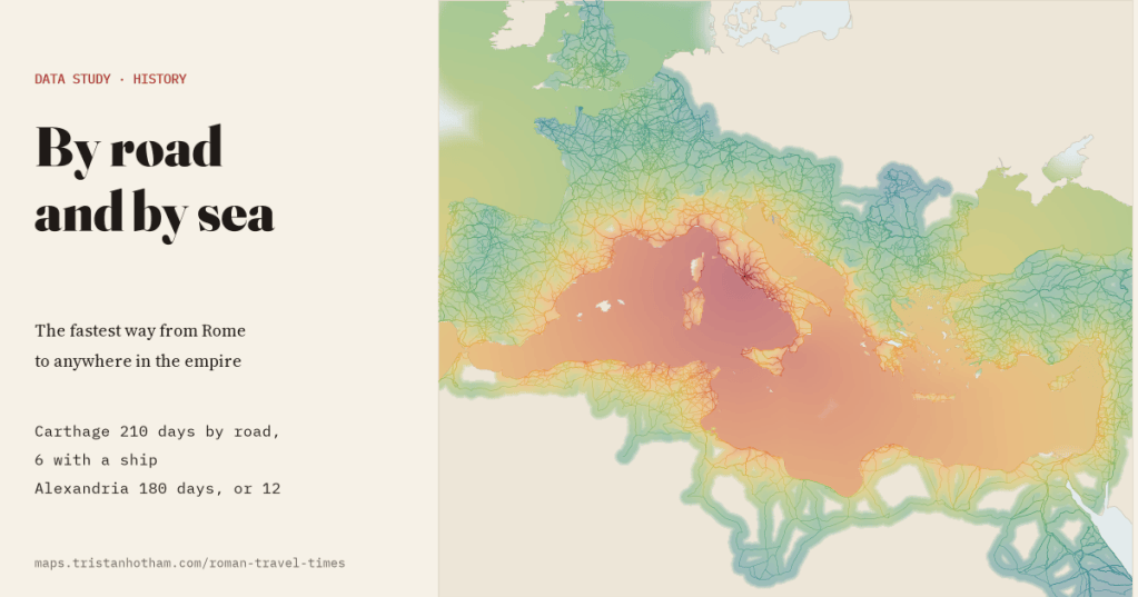
By road alone Carthage was 210 days’ walk from Rome. With a ship it was 6. I added the sea to my map of Roman roads, with sailing speeds from ancient voyages and the summer etesian winds.
-
Lighthouses of the world: every light on one glowing map
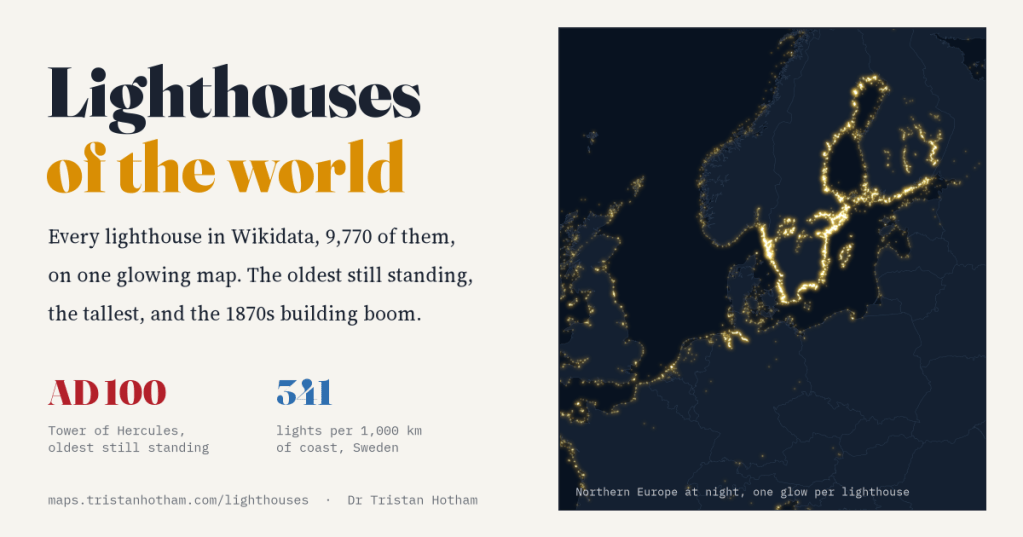
Wikidata knows of 9,770 lighthouses. I mapped them all and switched them on. Most were built in the industrial century, the oldest still standing is Roman, and the brightest coast belongs to Sweden, partly because Sweden wrote its lights down.
-
Where the lifeboats go: five years of RNLI launches mapped
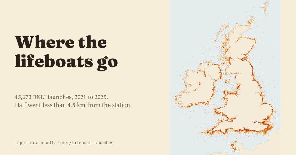
I looked at all 45,673 RNLI lifeboat launches from 2021 to 2025. Half went less than 4.5 km from the station, summer belongs to leisure boats, and the busiest station of all is on the Thames.
-
HMS Your Town: which British towns have had a warship named after them?
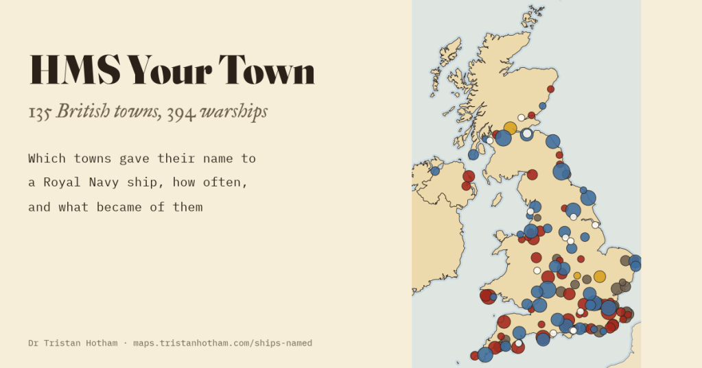
I matched every Royal Navy ship in Wikidata to the British towns they are named after: 394 ships for 135 towns. Gloucester and Newcastle have had nine each; Lancaster four; Barrow none.
-
How accurate were portolan charts?
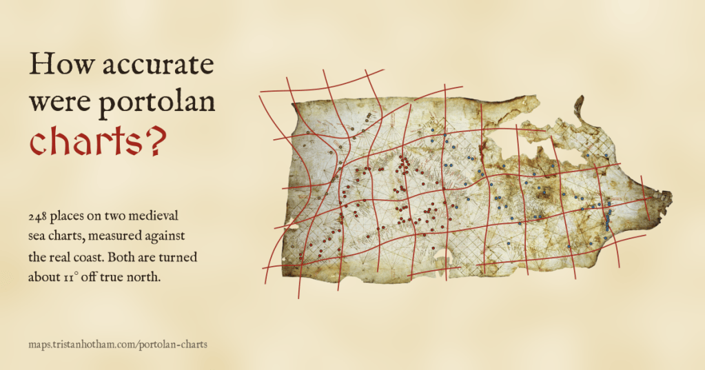
I read 349 places on the Carta Pisana and the Catalan Atlas and measured them against the real coast. Both charts are turned about 11 degrees off north, the Mediterranean is drawn to within a few dozen kilometres, and beyond Gibraltar they fall apart.

