
Tag: Georgian
-
Waterloo Road and the clock in the streets
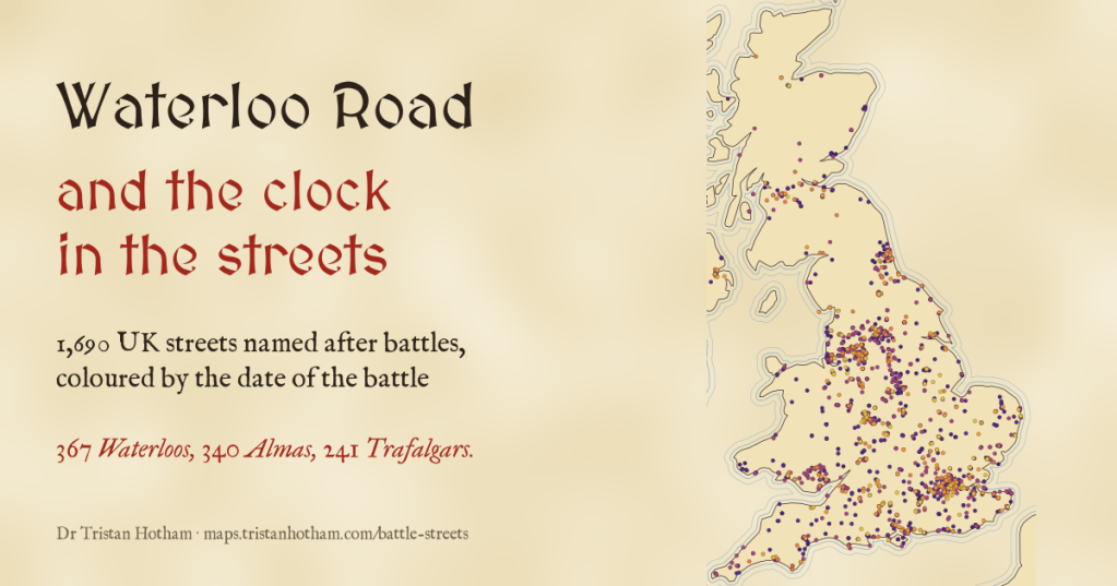
Victorian builders named streets after the latest victory. I mapped every UK street named after a battle: 367 Waterloos, 340 Almas, and in 53 of 75 towns the later battles lie farther from the centre. A clock in the streets, if a slow one.
-
The Listed Kingdom: every listed building in the UK
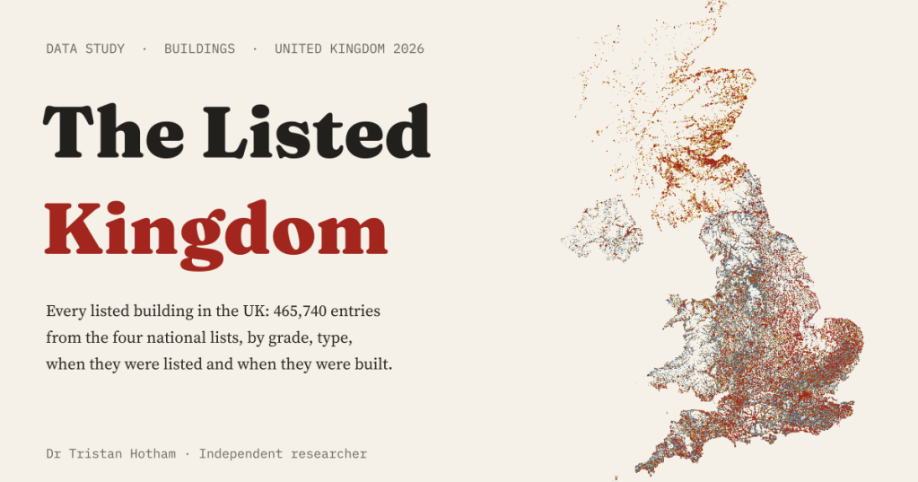
I put all 465,740 entries on the UK’s four lists of listed buildings on one map, read their names to see what they are and their descriptions to see when they were built. Mostly Georgian and Victorian houses, with a great many churches at the top.
-
Who won here? Every UK general election since 1832 on one map
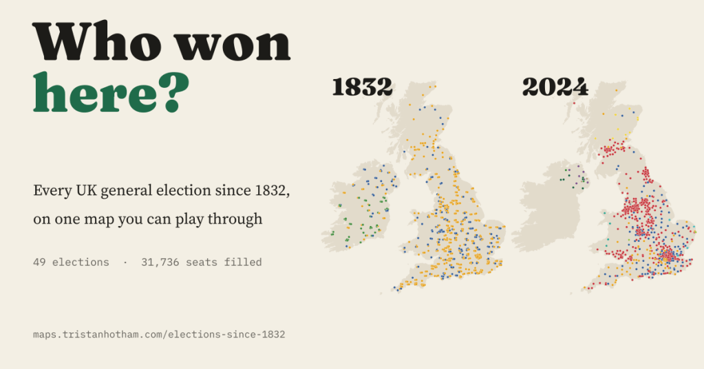
All 49 UK general elections from 1832 to 2024 on one map: 31,736 seats, the forgotten uncontested elections, the Liberal fall, the four nations and the Red Wall.
-
The turnpike towns: did the turnpike make the town grow?
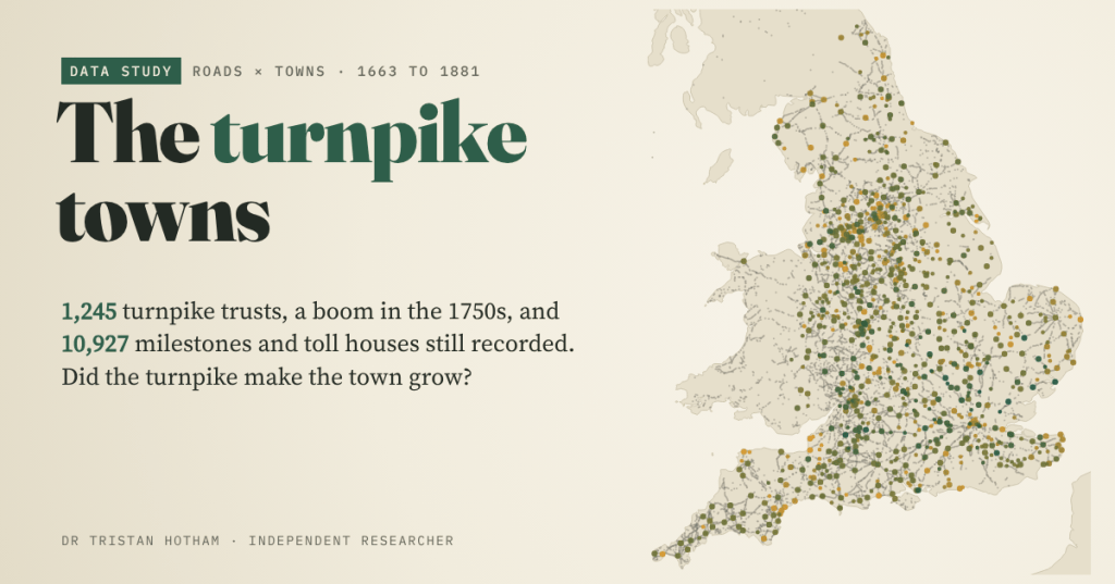
England’s 1,245 turnpike trusts were founded in a rush in the 1750s and 1760s, and 10,927 of their milestones and toll houses are still recorded. But did the towns on the turnpikes grow faster? Not that I can see.
-
Captain Swing: did the riots follow the machines?
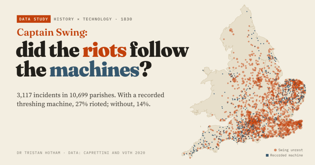
In 1830 English farm labourers smashed threshing machines. Using Caprettini and Voth’s open data I mapped 3,117 Swing incidents: parishes with a recorded machine were twice as likely to riot, but 90% of riotous parishes had no machine at all.

