
Tag: world maps
-
Ghost towns of the world: where places were abandoned, and why
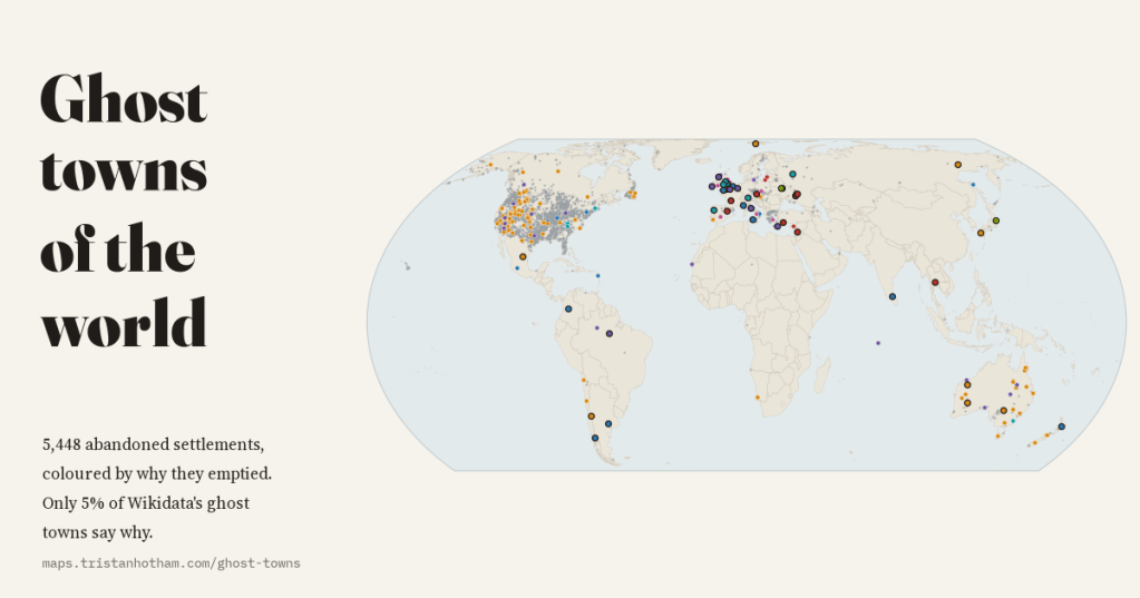
I mapped 5,448 abandoned settlements in open data and coloured each by why it emptied: mining, war, disaster, reservoirs, Chernobyl and medieval decline. 80% of Wikidata’s ghost towns are American, and only 5% say why.
-
What the world grows: farmland and crops on one map
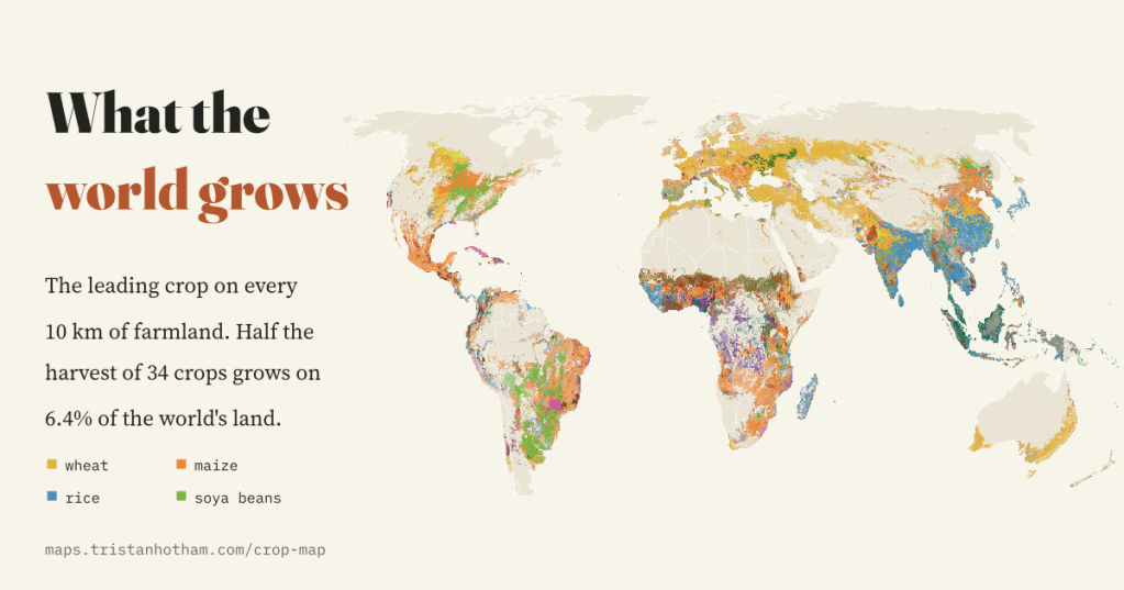
The leading crop on every 10 km square of the world’s farmland, and sixty years of change in how much land we farm. Wheat, maize, rice and soya beans cover 50% of the harvest, and half of it grows on 6.4% of the world’s land.
-
Faith on the map: religion around the world and across the UK
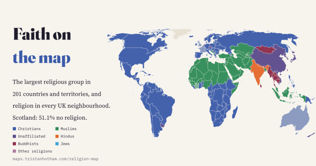
Christianity’s centre has moved to sub-Saharan Africa, the unaffiliated are growing fast, and in Scotland 51.1% now say they have no religion. A map of religion in 201 countries, every UK neighbourhood and 1,624,818 places of worship.
-
Styles in stone: the world’s architectural styles on a map, century by century
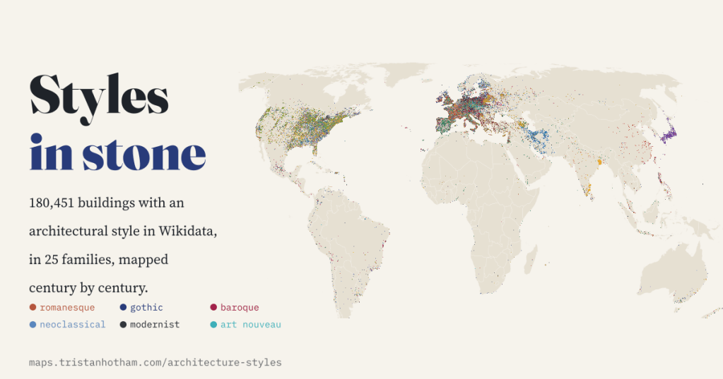
180,451 buildings with an architectural style in Wikidata, sorted into 25 families and mapped through time. Romanesque gives way to Gothic, Baroque and the revivals, Gothic Revival sails to Toronto and Melbourne, and the gaps show who keeps the records.
-
Where the animals are: the world’s cattle, sheep, goats, pigs and chickens on one map
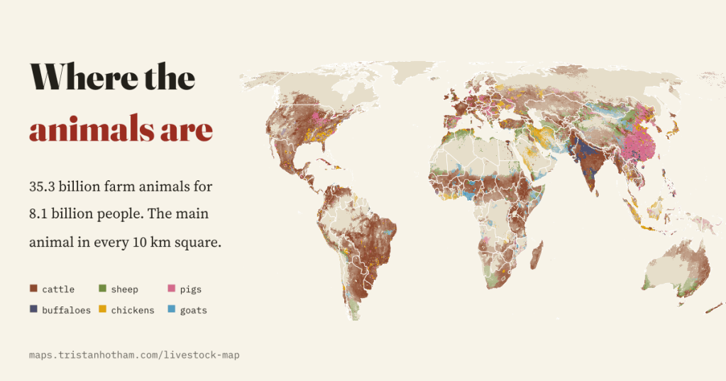
35.3 billion farm animals for 8.1 billion people, mapped every 10 km. Chickens have multiplied 7.1 times since 1961, farm mammals outnumber people in 40 countries, and New Zealand has lost two thirds of its sheep.

