
Tag: maps
-
Rotten Boroughs: Where Are They Now?
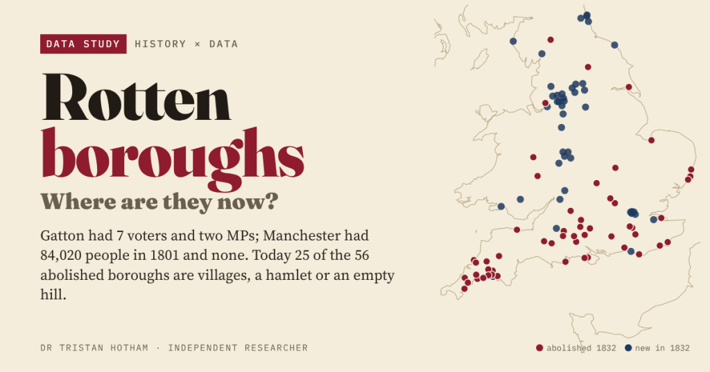
Before 1832 Gatton had 7 voters and two MPs while Manchester had none. I mapped all 56 boroughs the Reform Act abolished: today 25 are villages, a hamlet or an empty hill.
-
Minted: were England’s mint towns still the big towns?
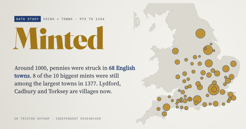
Around the year 1000, every English penny named the town that struck it. I followed the 68 mint towns of Æthelred II forward to 1377, 1801 and 2021. 8 of the 10 biggest were still among England’s largest towns in 1377; Lydford, Cadbury and Torksey are villages now.
-
Canal Mania: Did the Canal Towns Boom, and Do They Still Lead?
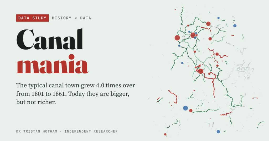
England’s canal towns grew about 4.0 times over between 1801 and 1861. But they were rising before the canals came, and today they are bigger, not richer.
-
Here be dragons: do Britain’s dragons live by the church?
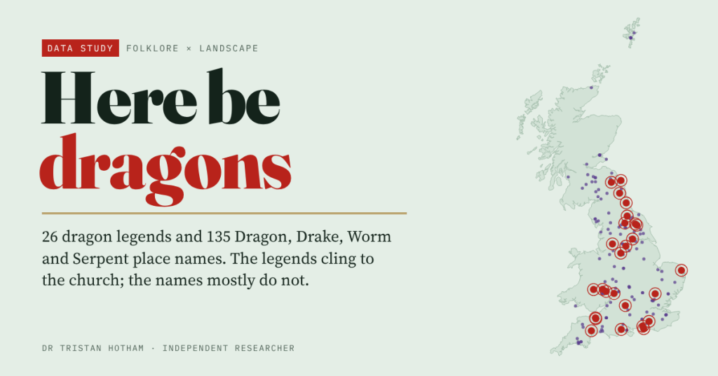
I put 26 named dragon legends and 135 Dragon, Drake, Worm and Serpent place names on the map. The legends cling to the parish church (77% within 1 km, against 55% of comparable places); barrows, hillforts and rivers barely matter.
-
Cholera 1849: low ground, bad water and a long shadow
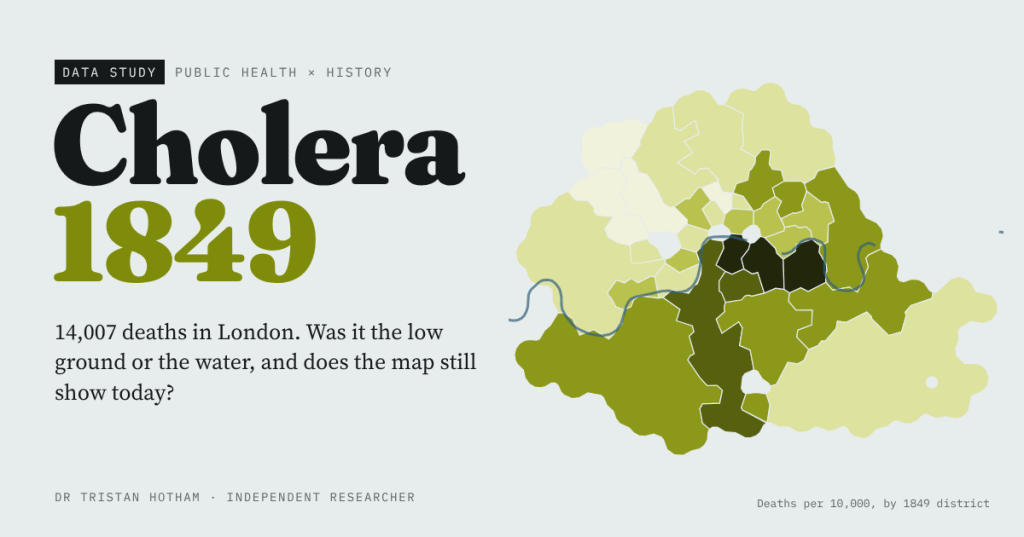
In 1849 cholera killed 14,007 people in London. I rebuilt William Farr’s elevation law and John Snow’s water evidence from their own tables, mapped every death around the Broad Street pump, and found that the worst-hit districts of 1849 are not the poorest today.

