
Tag: maps
-
Ford or Bridge?
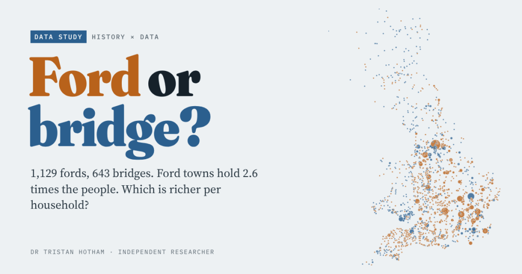
Oxford waded, Cambridge built. I set every ford and bridge place-name in Britain against the 2021 census and small-area income: ford towns hold 2.6 times the people, and the typical ford place is a little richer per household too.
-
Gallows Hill: where Britain put its execution places
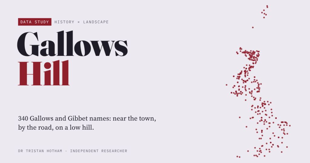
I measured 340 Gallows and Gibbet names on the OS map against fifty ordinary places each. They sit near towns but outside them, beside main roads, on low rises rather than high hills; the boundary story is faint.
-
The Conquest in Castles
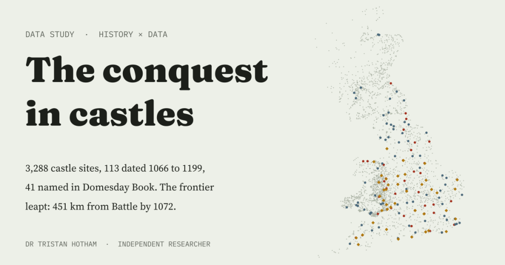
I mapped 3,288 Norman-type castle sites across Britain. Only 113 carry a date from 1066 to 1199, and they show a castle frontier that leapt across England within a few years of Hastings.
-
From saint to wish: the holy and wishing wells of Britain and Ireland
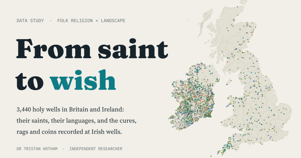
I mapped 3,440 holy wells in Britain and Ireland, read the saints and languages in their names, and counted the cures, rags and coins recorded at Irish wells. Mary and Patrick tie for first place, and the wishing well’s coin was already there at the saint’s well.
-
Still Standing: why do old buildings survive?
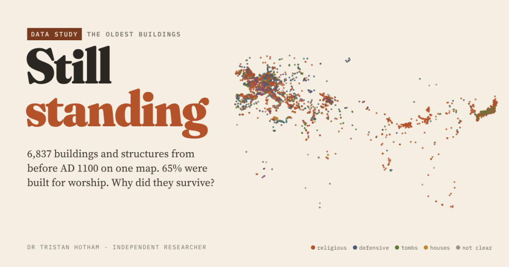
I mapped all 6,837 buildings and structures in Wikidata from before AD 1100. 65% were built for worship, most still are, and the survivors are either indispensable or forgotten.

