
Tag: maps
-
Where the Devil lives: Britain’s Devil place names, mapped
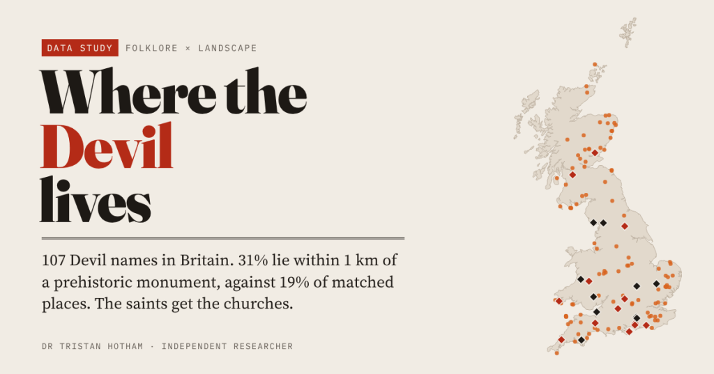
I mapped 107 Devil place names in Britain. 31% lie within 1 km of a prehistoric monument, against 19% of comparable places; saint-named places sit by churches and holy wells instead.
-
Did fairy belief protect Ireland’s ringforts?
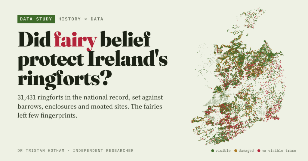
Ireland’s 31,431 ringforts are fairy forts that it was unlucky to disturb. I set them against barrows, enclosures and moated sites: the fairies left few fingerprints.
-
Giants in the landscape: did people explain big things with big people?
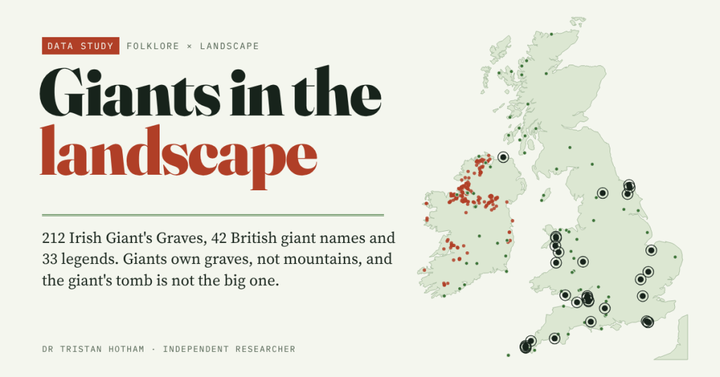
I gathered 331 giant places in Britain and Ireland, from Giant’s Graves to Gog Magog. Giants own graves, not mountains, and Ireland’s 212 Giant’s Graves are no bigger or more prominent than the tombs around them.
-
Great Fires: Did the Towns That Burned Rebuild Bigger?
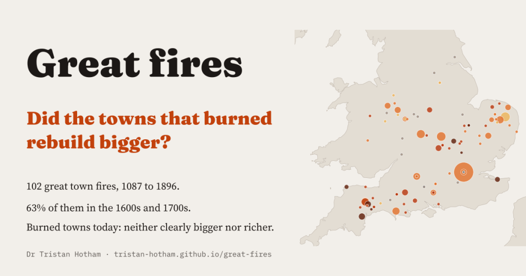
I read every fire in Wikipedia’s town articles and found 102 great town fires, 63% of them in the 1600s and 1700s. Three centuries on, the towns that burned are neither clearly bigger nor richer.
-
Who gets a blue plaque?
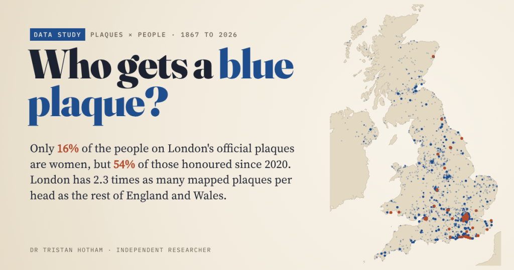
I read all 1,037 English Heritage plaques listed in London and mapped 6,476 plaques across the UK. Only 16% of the people on London’s plaques are women, but 54% of those honoured since 2020.

