
Tag: coast and sea
-
Transported: every convict ship to Australia, mapped
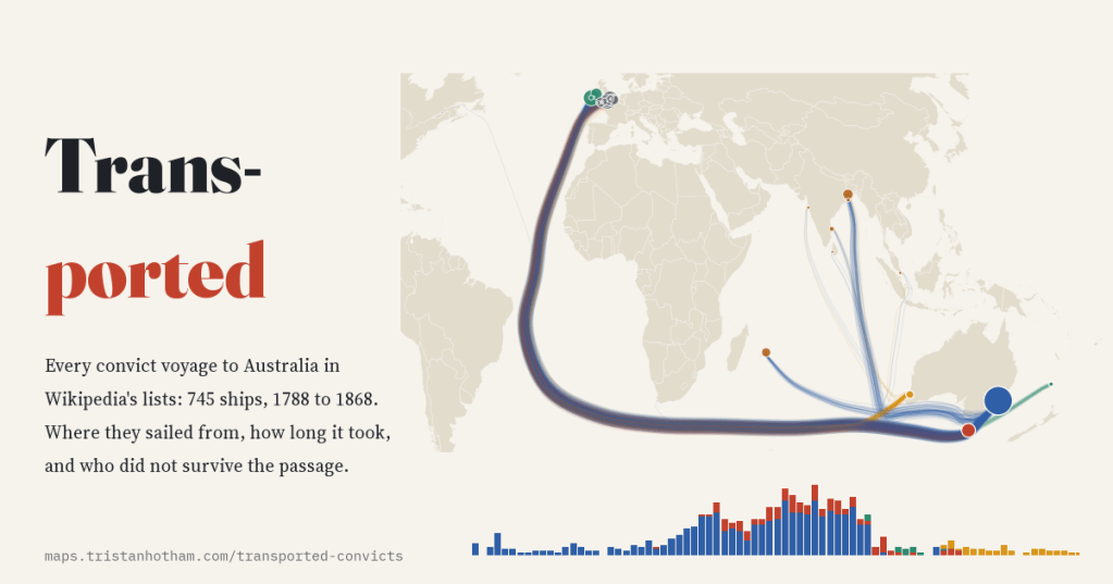
Britain shipped about 162,000 convicts to Australia. I mapped all 745 voyages in Wikipedia’s ship lists: the busiest port was Cork, the busiest year 1833, and the Second Fleet lost a quarter of its convicts at sea.
-
The internet’s seabed: every submarine cable, when it was laid, and the choke points
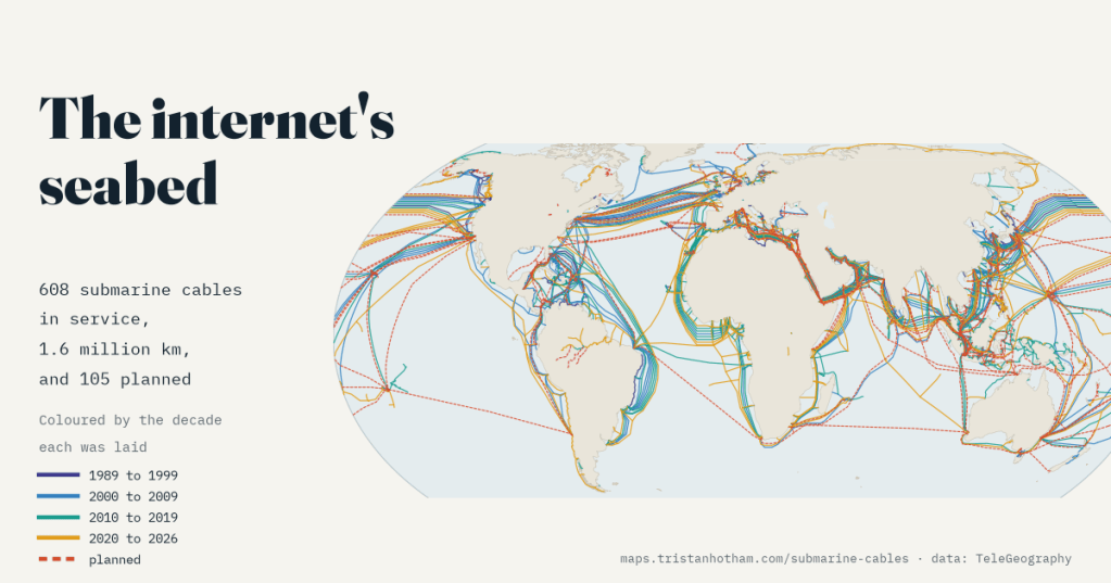
608 cables on the sea floor carry the internet between continents. I mapped when each was laid, how Google, Meta, Amazon and Microsoft came to part-own 55% of the planned length, and the straits and beaches where dozens squeeze through together.
-
How close did Ino get? Japan’s first measured map against a modern one
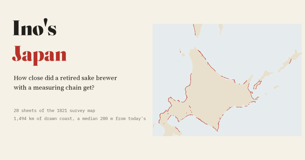
A retired sake brewer measured Japan on foot. I laid 28 sheets of his 1821 map on today’s coast: a typical sheet’s coast sits a median 280 m from the modern line.
-
Lost at sea: is the Bermuda Triangle worse than its traffic?
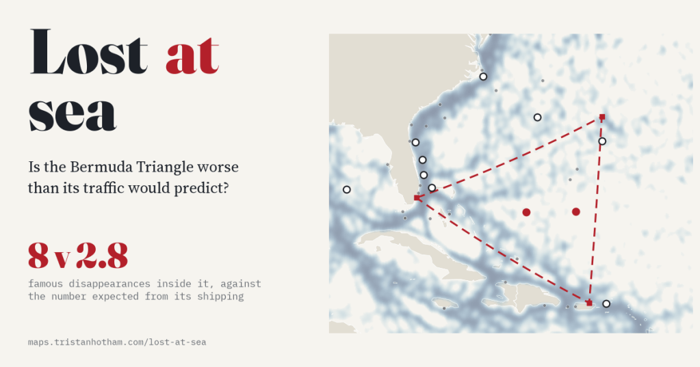
I placed 472 famous disappearances on the map and tested every sea against its shipping. The Bermuda Triangle has 8 against 2.8 expected, but its neighbours run just as high, and most of its famous cases happened outside it.
-
Every nuclear test, mapped
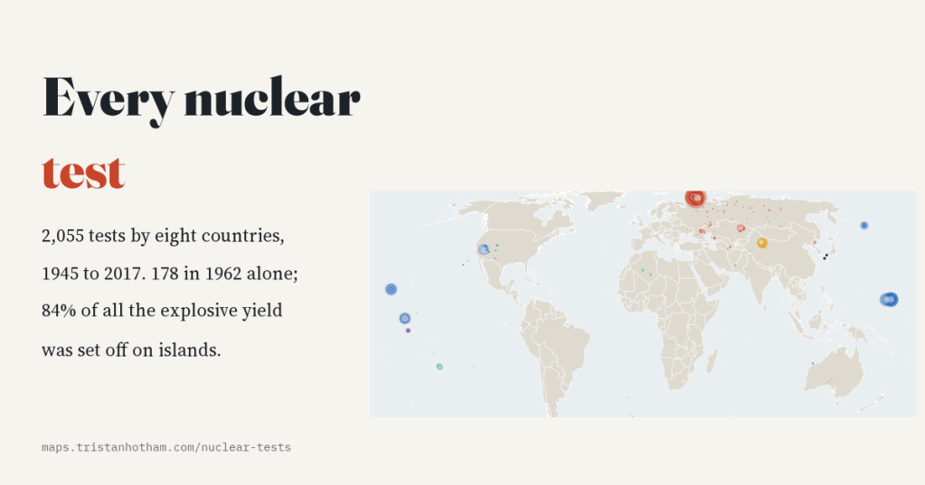
Since 1945 eight countries have set off 2,055 nuclear tests. I mapped every one: 178 in 1962 alone, most of them underground after 1963, and 84% of all the explosive yield on islands.

