
Tag: open data
-
Ley lines, tested: are Britain’s ancient sites lined up more than chance allows?
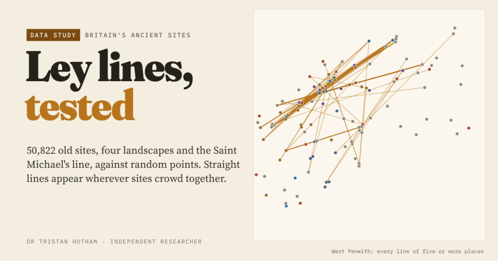
Alfred Watkins saw straight lines of old sites across Herefordshire in 1921. I mapped 50,822 churches, barrows, stones, hillforts and holy wells and compared every alignment with random points: crowding, not planning, explains the leys.
-
Barm, bap, cob or roll? Britain’s bread roll lines
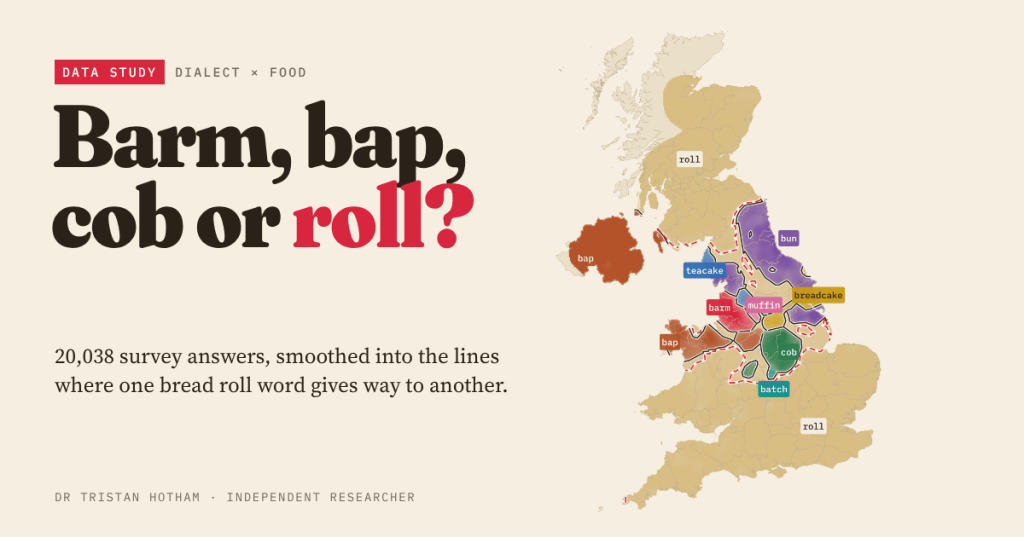
Roll, bun, bap, barm, cob, breadcake, teacake, muffin or batch? I mapped 20,038 answers from two dialect surveys, drew the lines where one word gives way to another, and checked whether the high street agrees.
-
Did fairy belief protect Ireland’s ringforts?
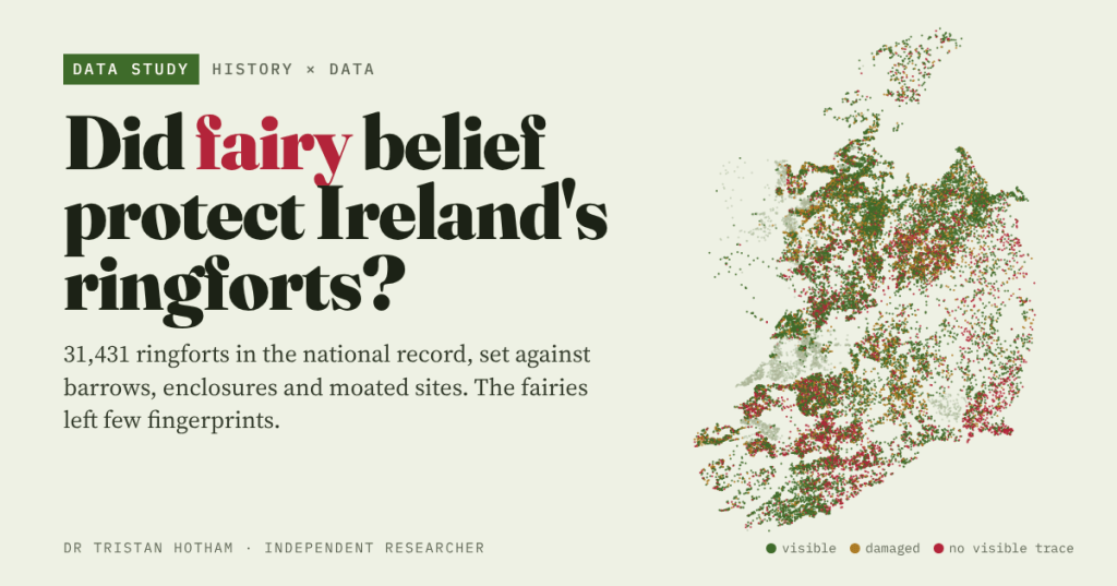
Ireland’s 31,431 ringforts are fairy forts that it was unlucky to disturb. I set them against barrows, enclosures and moated sites: the fairies left few fingerprints.
-
Great Fires: Did the Towns That Burned Rebuild Bigger?
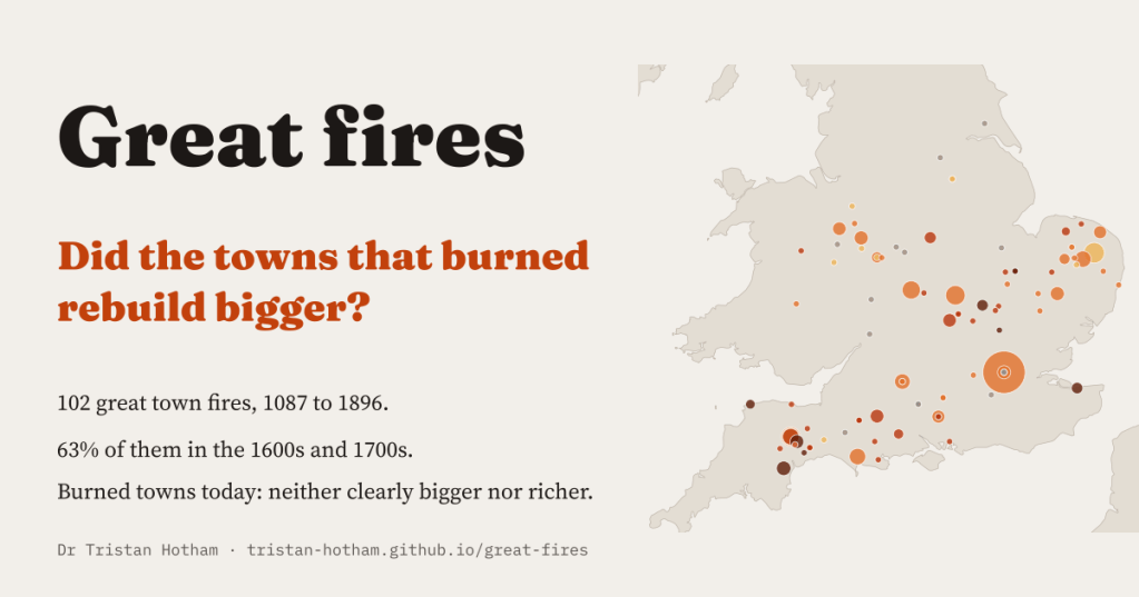
I read every fire in Wikipedia’s town articles and found 102 great town fires, 63% of them in the 1600s and 1700s. Three centuries on, the towns that burned are neither clearly bigger nor richer.
-
Canal Mania: Did the Canal Towns Boom, and Do They Still Lead?
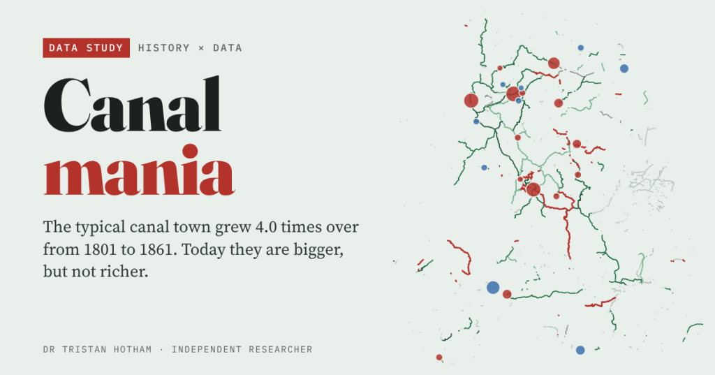
England’s canal towns grew about 4.0 times over between 1801 and 1861. But they were rising before the canals came, and today they are bigger, not richer.

