
Tag: old maps
-
The Gough Map: Britain’s oldest road map, measured
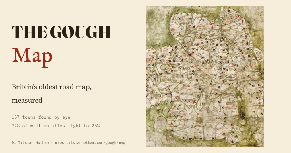
I found 157 towns by eye on a map of Britain drawn about 1360. Its shape puts a typical town 18 km out of place and blows Wales up, yet 72% of the miles written along its red roads are within 25% of the real road.
-
The Known World
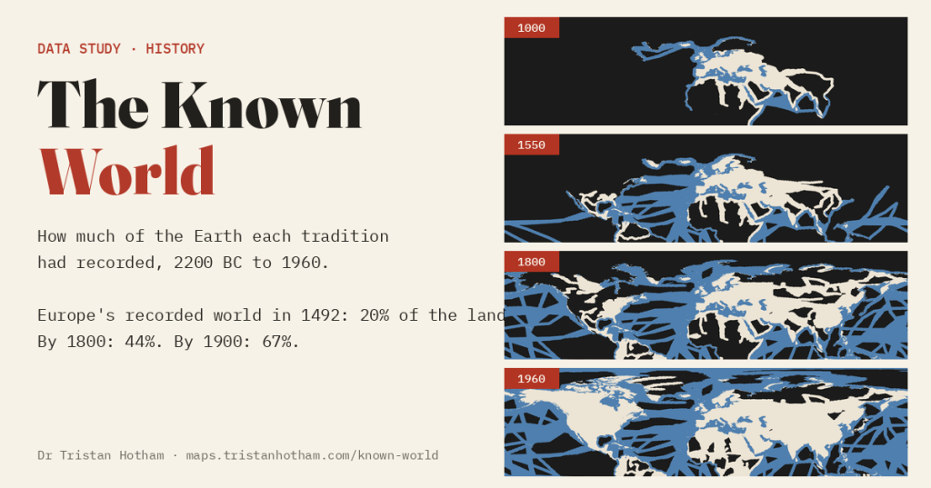
A dark world that lights up as travellers wrote it down. From 681 journeys: Europe’s recorded world covered 20% of the land in 1492 and 67% in 1900, and much of the dark had been recorded by China, the Islamic world or Polynesian voyagers first.
-
Booth’s poverty map today
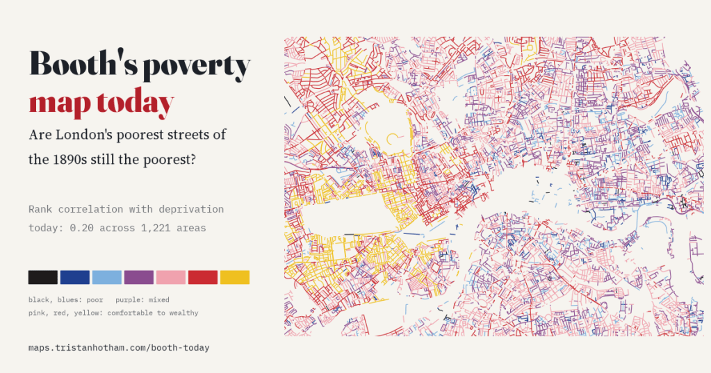
I read Charles Booth’s 1898 to 1899 poverty colours along every street of today’s inner London and set them against deprivation in 2025. The poorer streets of the 1890s are still slightly more deprived (rank correlation 0.20), and only very locally: slide the old map 1 km and most of the link goes.
-
The rocks beneath: a geological map in the colours of 1969
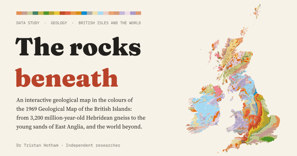
An interactive geological map of the British Isles and the world, coloured with the palette of the 1969 Geological Map of the British Islands. Carboniferous rocks cover 17.5% of Great Britain, and England’s layers get younger all the way to London.

