
Tag: war
-
Waterloo Road and the clock in the streets
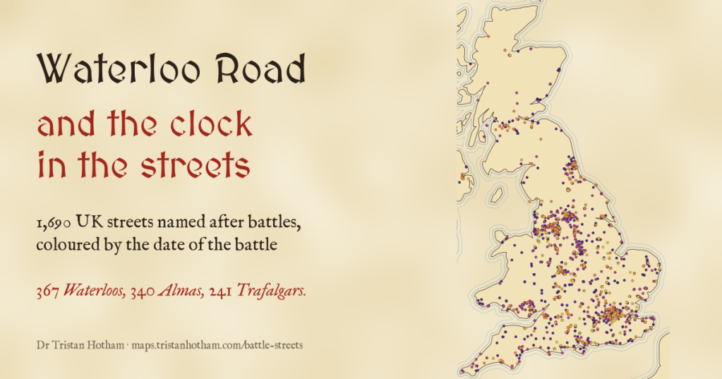
Victorian builders named streets after the latest victory. I mapped every UK street named after a battle: 367 Waterloos, 340 Almas, and in 53 of 75 towns the later battles lie farther from the centre. A clock in the streets, if a slow one.
-
Bombs on Britain: where the air raids killed
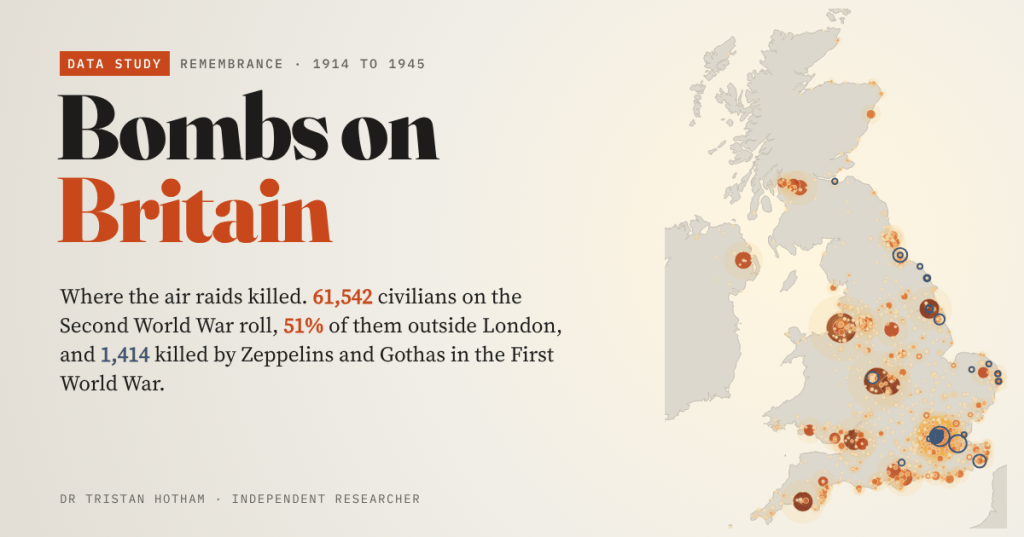
I counted all 61,542 civilians on the Commonwealth War Graves Commission’s Second World War roll for the UK, town by town. 51% of them died outside London, and the story starts with the shelling of Hartlepool in 1914.
-
How many names on your war memorial?
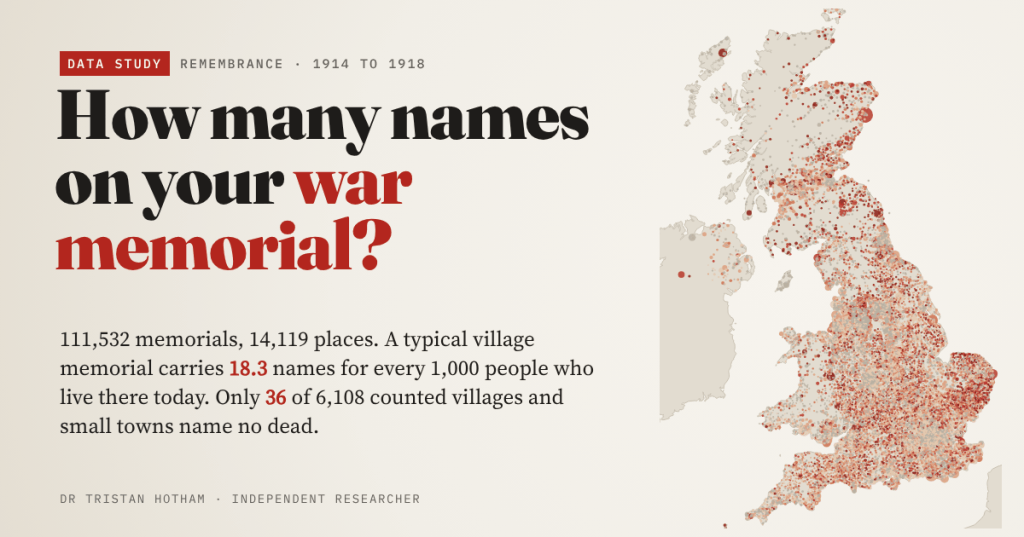
I counted the First World War names on 14,119 community memorials in the Imperial War Museums register. A typical village memorial carries 18.3 names for every 1,000 people living there today, and only 36 of 6,108 small places record no dead.
-
Britain’s last line of defence: the pillboxes and stop lines of 1940
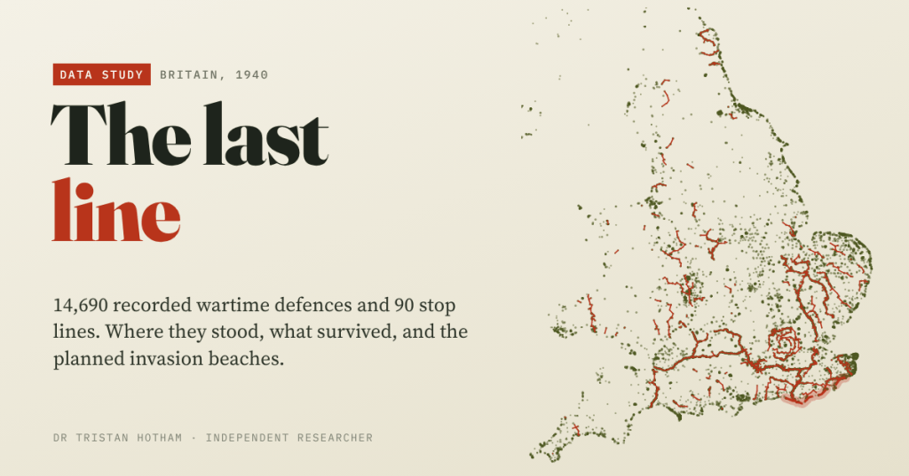
I mapped 14,690 wartime defences recorded by Defence of Britain volunteers. The planned German landing beaches had 2.3 times the average density of defence, and 71% of sites with a known condition were still standing.
-
Laid Waste: the Harrying of the North
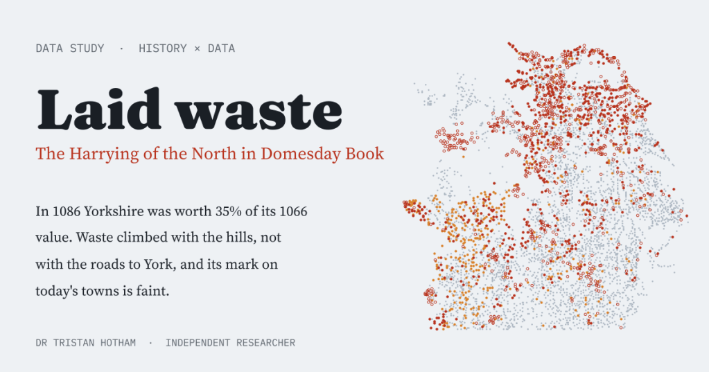
Domesday Book called hundreds of northern places waste after William the Conqueror’s Harrying of the North. I mapped them: Yorkshire was worth 35% of its 1066 value, the waste climbed the hills rather than the roads to York, and its scar on today’s map is faint.

