
Category: Data stories
-
Where Was the Battle? The lost battlefields of early Britain
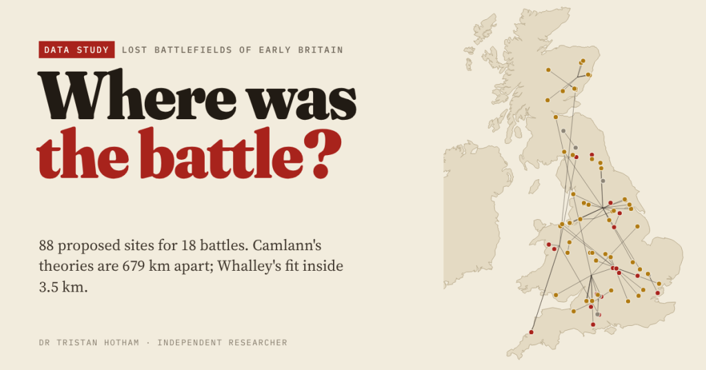
I gathered 88 proposed sites for 18 lost battles of early Britain and tested each against what the texts actually say. Camlann’s theories are 679 km apart; Whalley’s fit inside 3.5 km.
-
Silver and Names
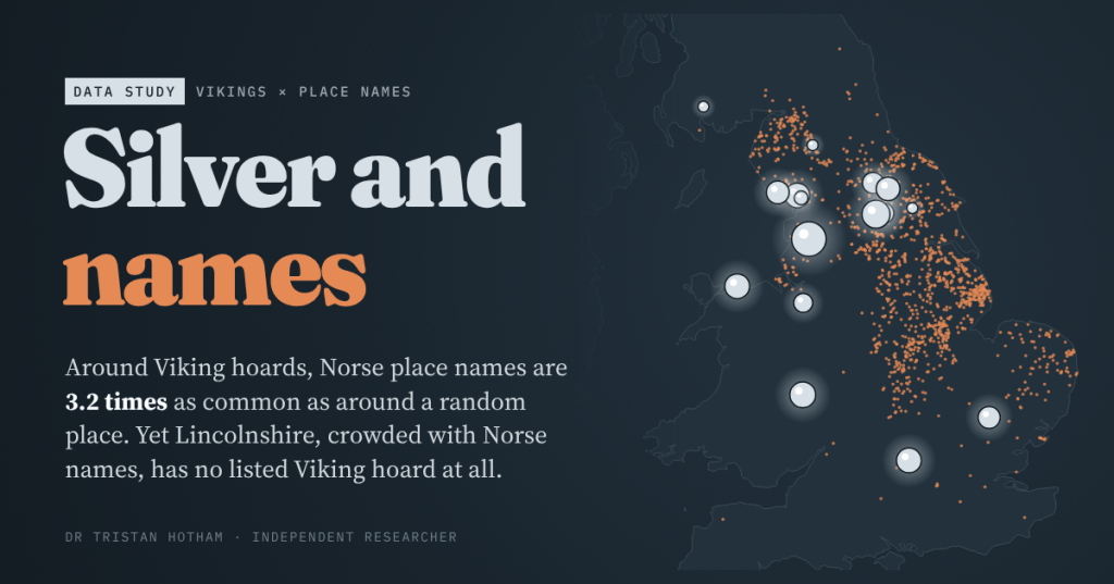
The Vikings left two traces in Britain: buried silver and place names ending in -by, -thorpe and -thwaite. I put every listed Viking hoard on the map of Norse names. Mostly they agree, but Lincolnshire, with 294 Norse names, has no listed hoard at all.
-
Cold years, witch years? Scotland’s witch panics and the Little Ice Age
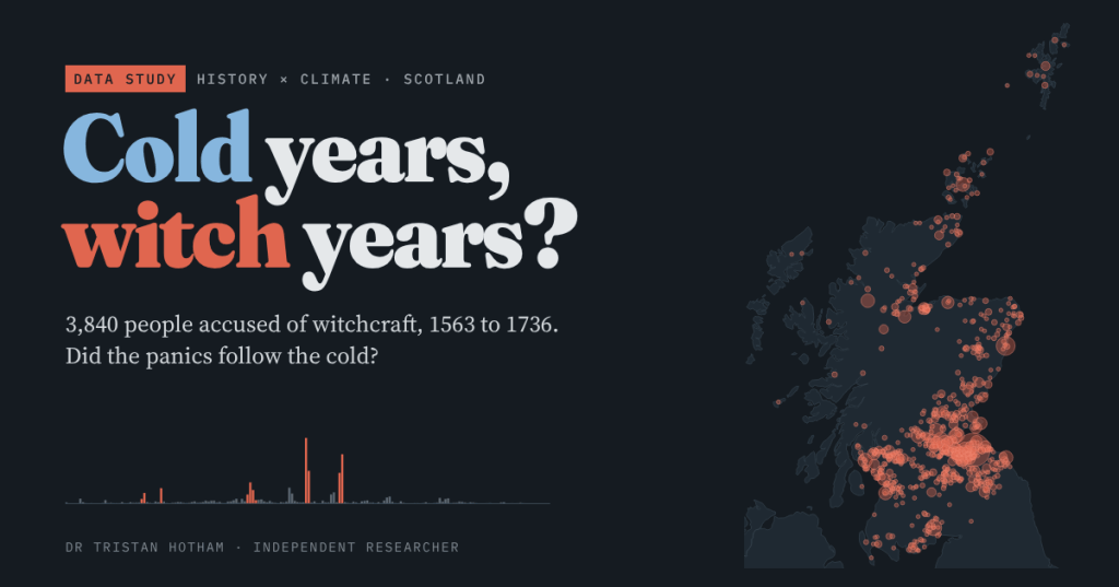
Scotland accused 3,840 people of witchcraft between 1563 and 1736, 57% of them in five sudden panics. I mapped where they lived and tested whether the panics followed cold years. They did not.
-
The Villages That Vanished
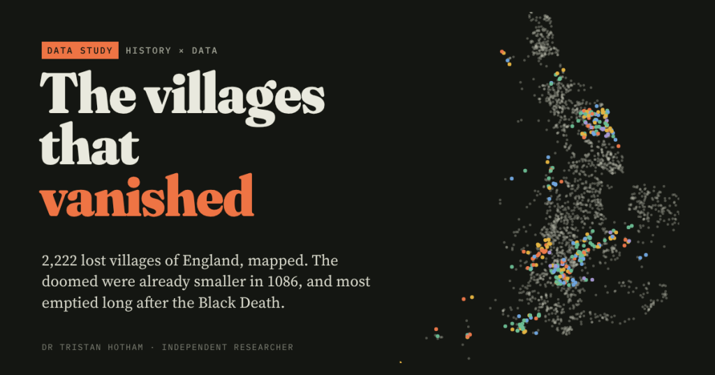
England has thousands of deserted medieval villages. I mapped all 2,222 in Beresford’s gazetteer and set them against Domesday Book: the doomed were already smaller in 1086, and most emptied long after the Black Death.
-
Bloody Place Names: do Britain’s battle names mark real battles?
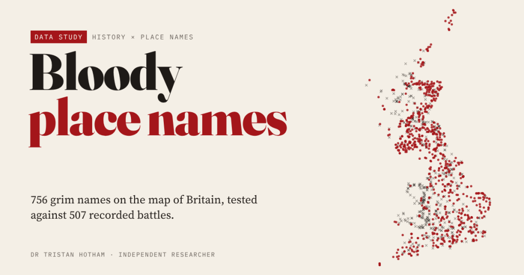
I measured 756 grim place names on the OS map, from Battle to Gallows Hill, against 507 recorded battles and sieges. Only Battle names reliably mark a battlefield; most of the rest are red herrings, and the Slaughters mean wet land.

