
My two daily games now go global. Whereabouts World asks you to find a mystery place anywhere on Earth, from countries and capitals down to villages and regions. Higher or Lower: World puts two countries side by side and asks which is higher, on 67 measures from beer to bananas.
The UK versions of Whereabouts and Higher or Lower are built on official statistics for UK places. The obvious next question was whether the same games work for the whole world. They do, and the world turns out to be full of numbers you can’t guess.
Whereabouts World
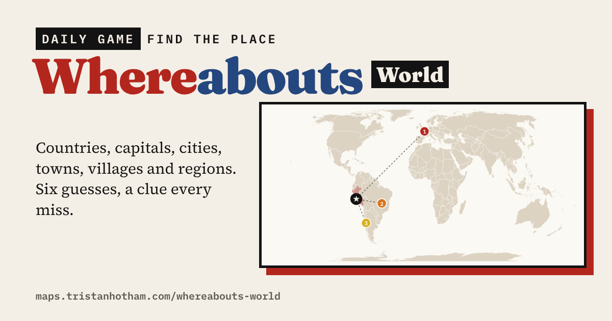
Pick what to find: a country, a capital, a city, a town, a village or a region. You have six guesses. Each one tells you how far away you are and which way to go, and the map zooms in on your guesses as you close in. In the Country and Region modes it also shades every place you’ve tried, hot to cold.
Every miss unlocks a clue. First its size, then its climate: the average temperature over the year and in its hottest and coldest months. Next come money and health in its country, then the oddest thing about that country, which might be its tea drinking, its islands or its earthquakes. Last of all comes where it is and its first letter. At the end you find out what the country’s name means, from my earlier study of country names.
The modes get harder as the places get smaller. Countries and capitals are a warm-up. Cities are the world’s 560 or so cities of a million people or more. Towns and villages are the better-known ones in each country, capped so the whole world gets a turn: you may well end up hunting for a fishing village on the Danube delta. Regions cover about a thousand states and provinces in 41 countries, from California to Kerala and Bavaria to Tasmania. Each mode has its own daily answer, streak and stats, and there is a practice mode when one a day isn’t enough.
Higher or Lower: World
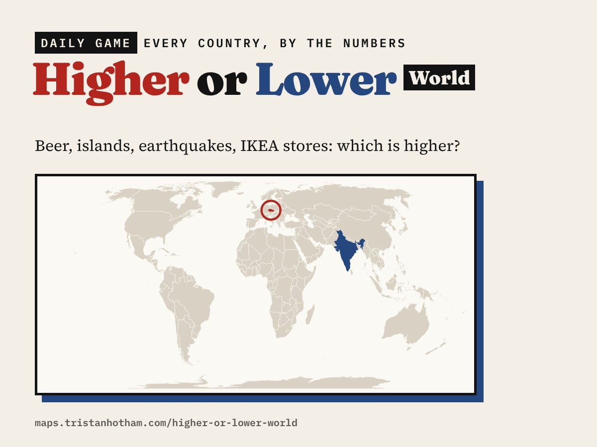
Two countries, one number: tap the one that’s higher. There are 67 measures in six groups: people, money and work, food and drink, land and weather, getting about, and just for fun. Today’s 10 is the same for everyone and always includes some of the fun ones. Endless mode keeps going until you’re wrong, and the pairs get closer the longer you last.
Some of the answers that caught me out while building it:
- Czechs drink the most beer, about 126 litres a person a year. Turkey drinks the most tea, ahead of Ireland.
- Sweden has more than 267,000 islands, more than any other country.
- France spans 12 time zones, thanks to its overseas territories. Russia and the United States have 11 each.
- Papua New Guinea has 841 living languages.
- Indonesia has had more than 1,100 earthquakes of magnitude 6 or more since 1900, more than anywhere else.
- Per person, Liechtenstein has won the most Olympic medals, about 250 for every million people. Italy has the most World Heritage Sites, with 62.
How I built them
The country figures come mostly from the CIA World Factbook, with food, crop, happiness, height and tourism data from Our World in Data. World Heritage Sites come from UNESCO, earthquakes from the US Geological Survey’s catalogue, and the sporting and fun counts from Wikipedia’s lists. Places, populations and capitals come from GeoNames, climate from NASA’s long-term averages, and borders from Natural Earth.
A few caveats. Figures come from different years, and some are estimates. Not every country has every figure, so each question only uses the countries that do. The fun counts measure what has been recorded. Earthquakes are counted for the country they struck or the nearest one within about 100 km. Village populations are GeoNames figures and can be out of date.
Notes and sources
- CIA World Factbook (public domain), via the factbook.json mirror.
- Our World in Data (CC BY 4.0): FAO food supply and production, World Happiness Report, NCD-RisC, Penn World Table, World Bank and UN Tourism.
- UNESCO World Heritage Centre; USGS earthquake catalogue; Wikipedia lists (CC BY-SA 4.0).
- GeoNames (CC BY 4.0); NASA POWER climatology; Natural Earth (public domain).
- I made these with coding and drafting help from Claude (Anthropic). I reviewed and checked the data and text.

